4th March. St Bees to Ennerdale. 14.6 miles in 4 hours 15
17 minute 30 average mile
881 m of ascent, 799m decent.
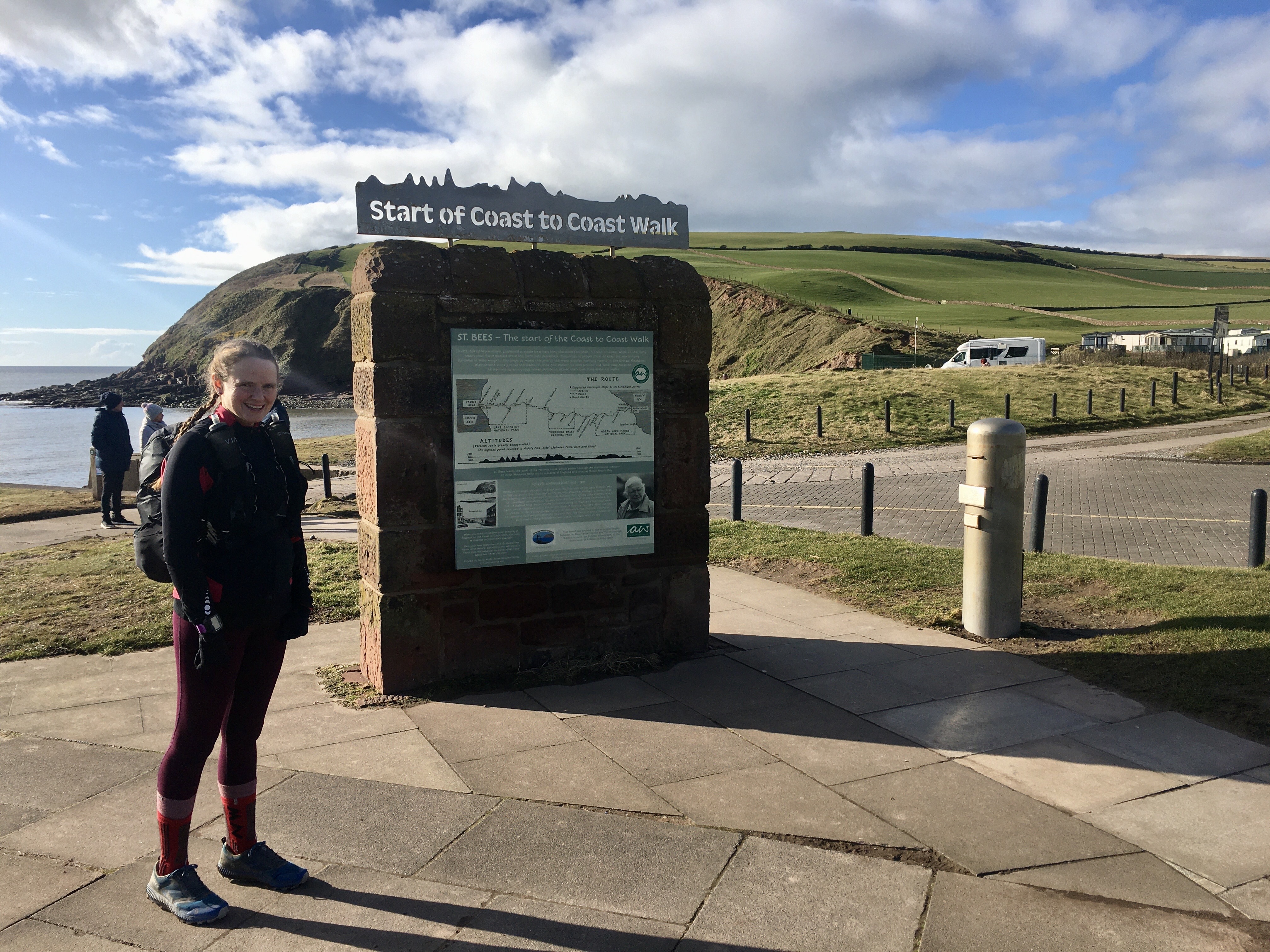
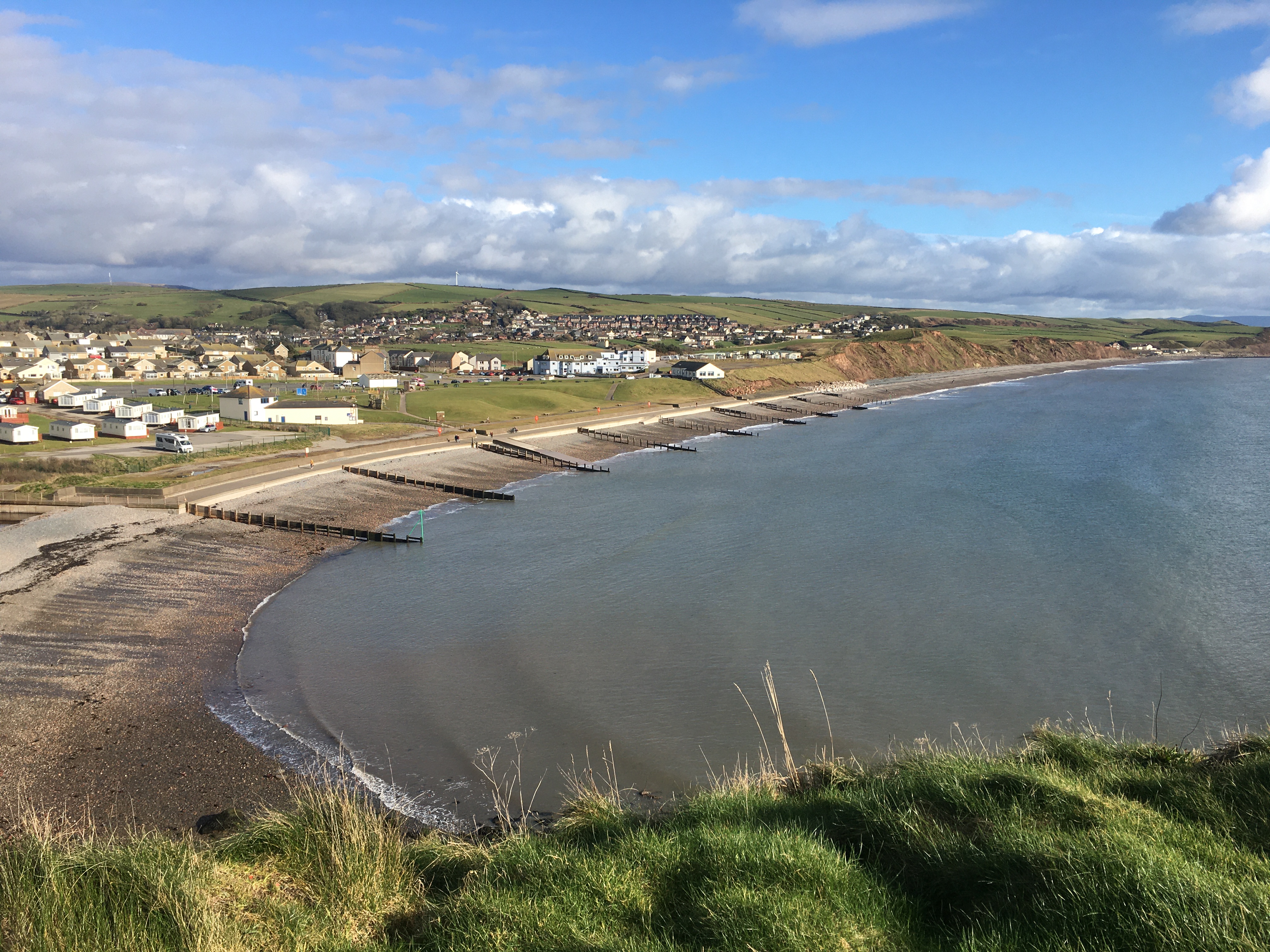
Trains to St Bees luckily we got an earlier connection so arrived an hour earlier at 2:34. We still had to walk a mile from the station to the start on the sea front.
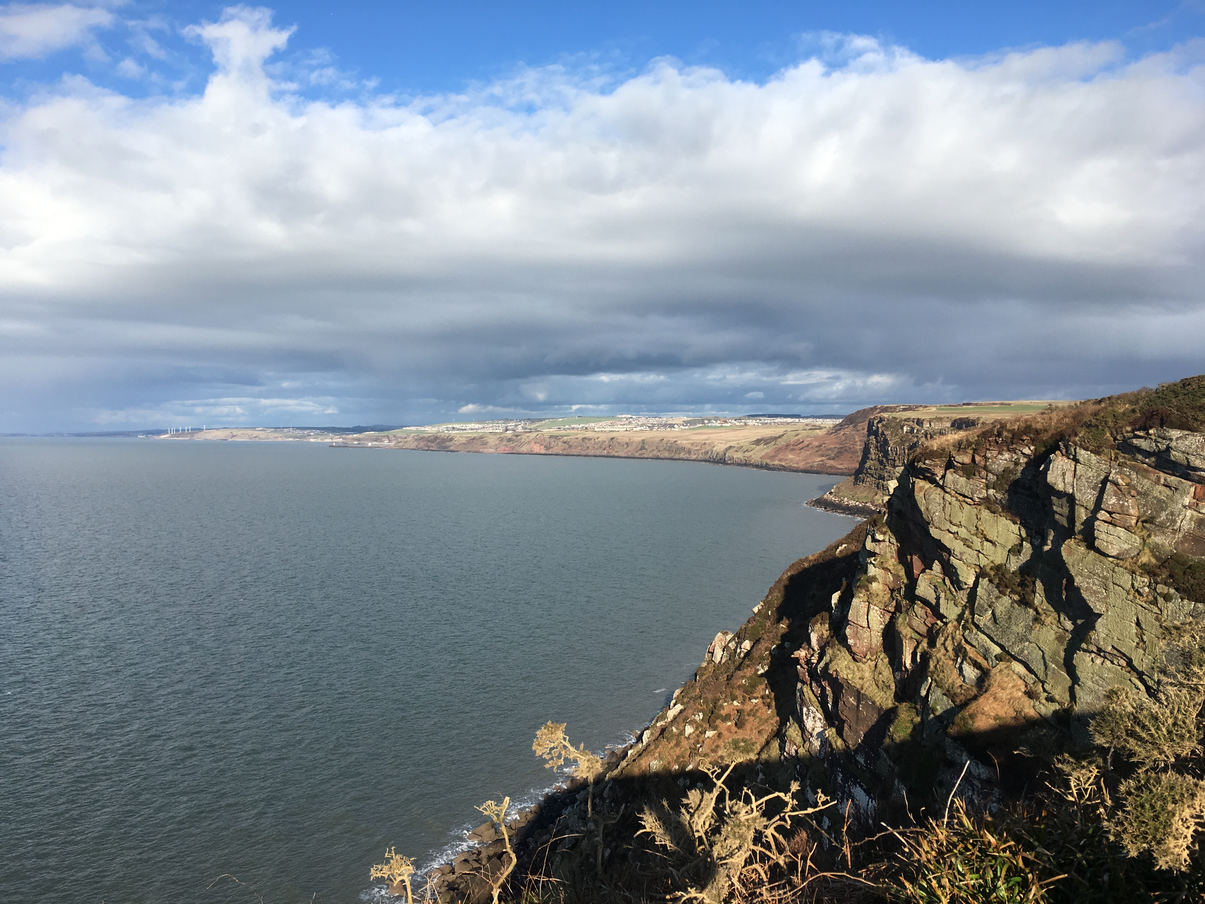
An undulating 4 mile costal stretch to the turn in land. The old path nearer the coast isn’t used now so we know not to always head for gates but to stick close-ish to the coast. The turn east was after the lighthouse.
I remembered a few bits of the route from before such as we had to go round a house as they built over the track. After this we were on a good track but a side path had a faded white sign with coast to coast written on it at the bottom we thought we needed to head steeply back up which seemed crazy to me. Half way up this path I looked down and could see a tunnel under the railway line and knew we should head there. I’ve since found a photo from 2008 to prove it.
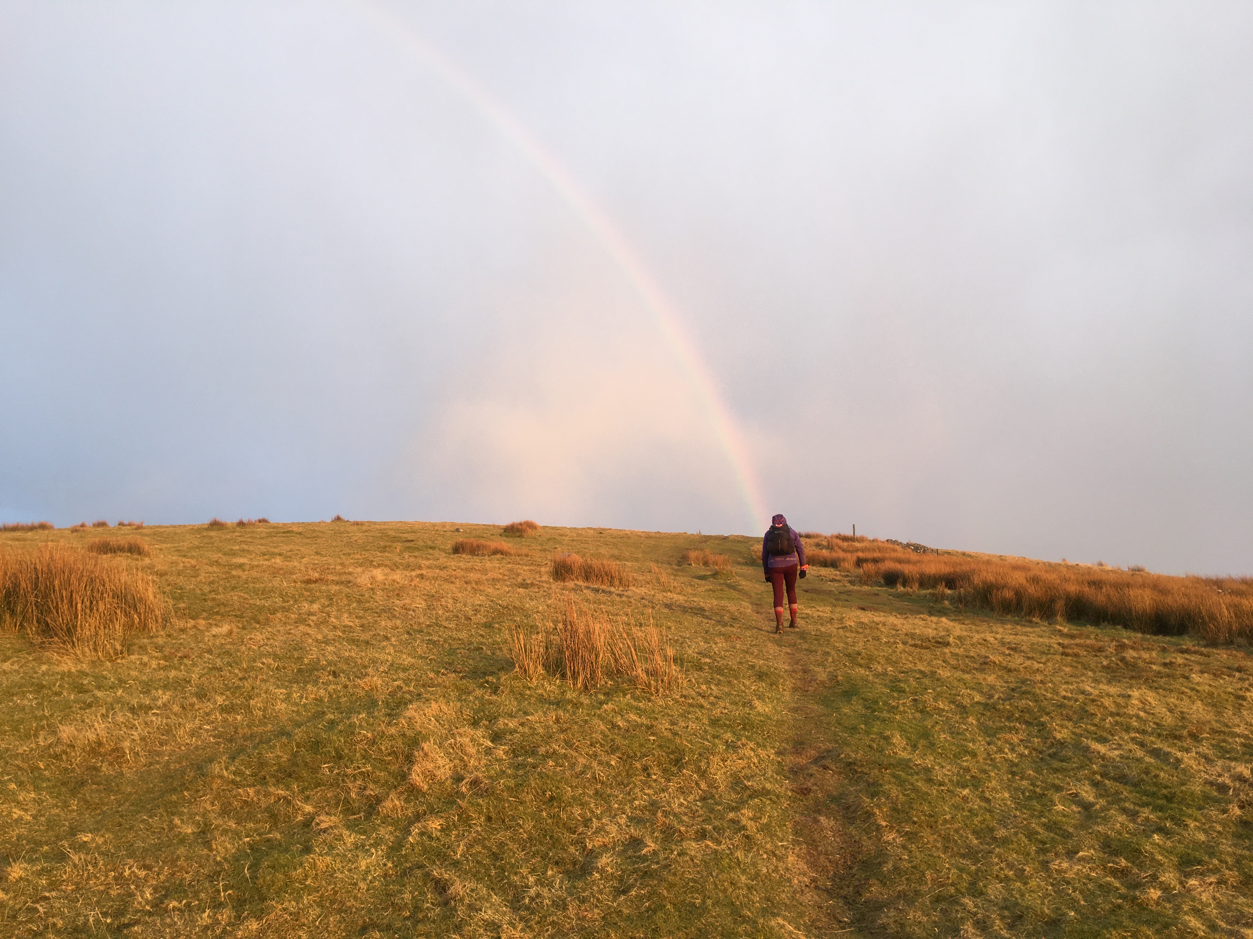
A few slightly boggy paths but not enough to get wet socks. Andy knew at 9.5 miles we had an uphill climb for over a mile, before this he spotted a hill and path, he was right it was our path. We’d had a sunny start to the route and I pointed out the Lakeland mist hanging over the hills at this point. It was a fine rain as we slogged up the hill with a few false summits before the cairn at the first summit, a rainbow led the way. We did the usual thing of putting on our waterproof jackets and the rain stopped. Looking back the sun was starting to set and the colours over the next 30 minutes were wonderful over the sea.
Andy said it was 3.5 miles of downhill but initially it was really steep and hard to run down but then a good path before the final 1 or so on the road to town. We managed without our torches as the moonlight reflected on the tarmac.
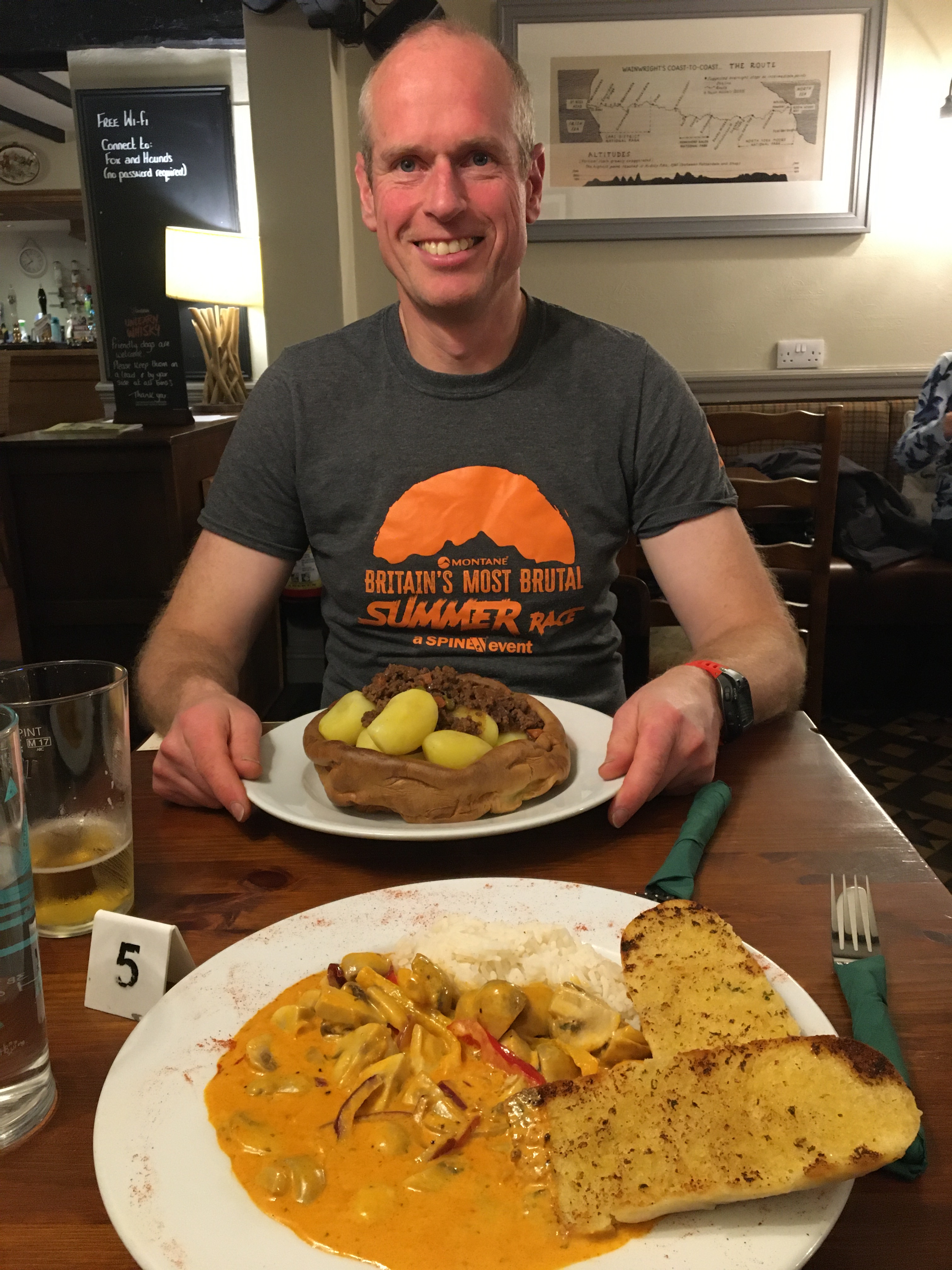
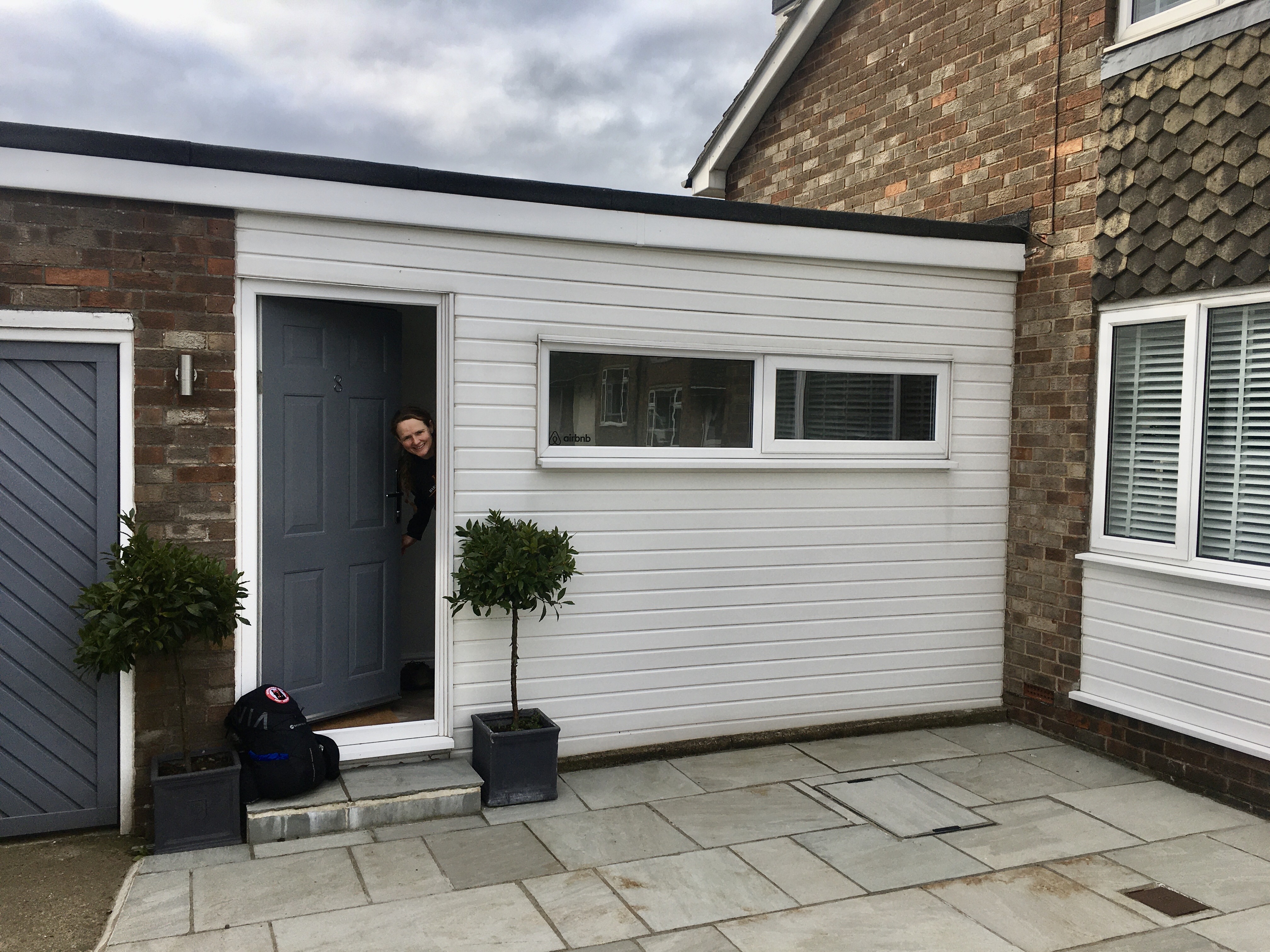
The Fox and Hounds pub was just off route. A purple room, I didn’t use the bath. Big portions for tea.

5th March. Ennerdale to Grasmere. 23.55 miles 8 hours 12
20 minute 55 average mile
1253 m of ascent, 1247m decent.
Massive cooked breakfast! Luckily Andy brought sandwich bags so we both made marmalade sandwiches with the toast.
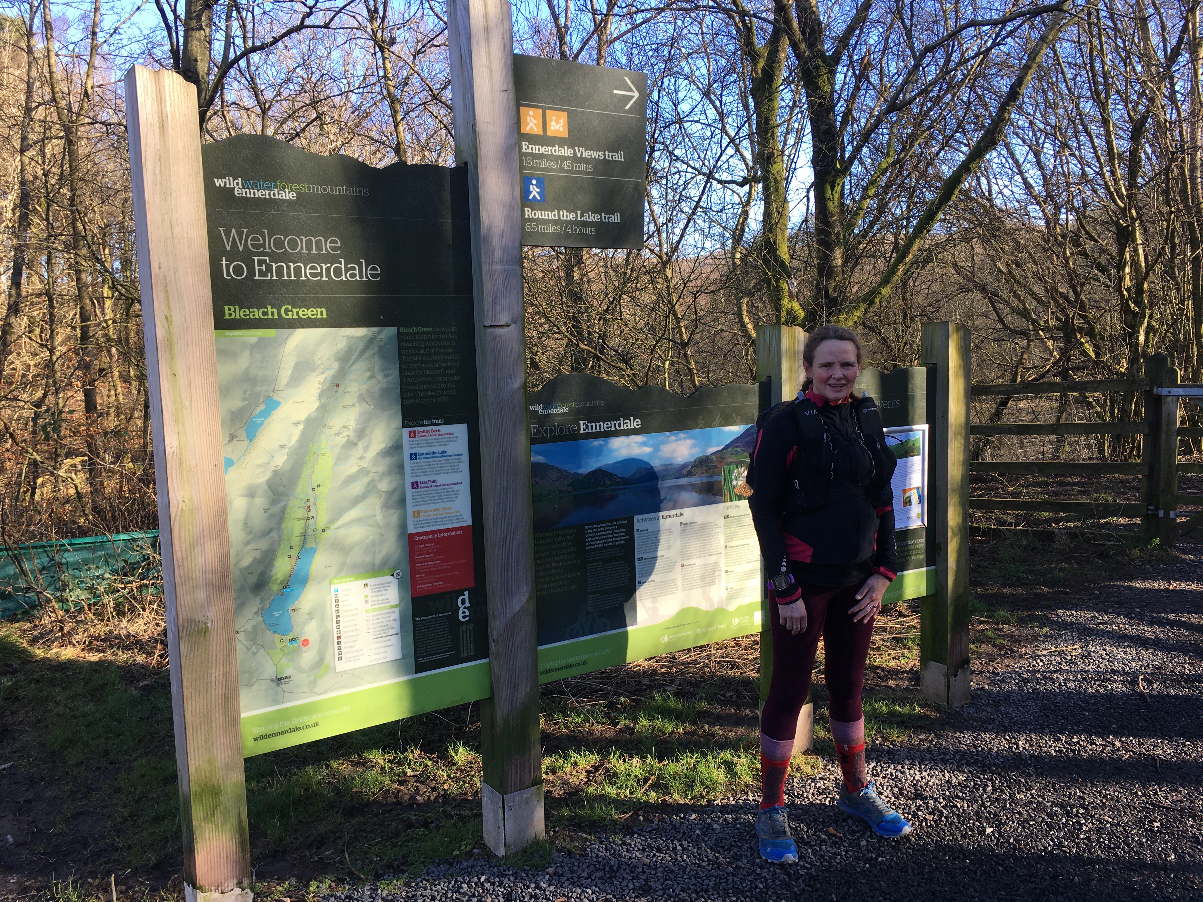
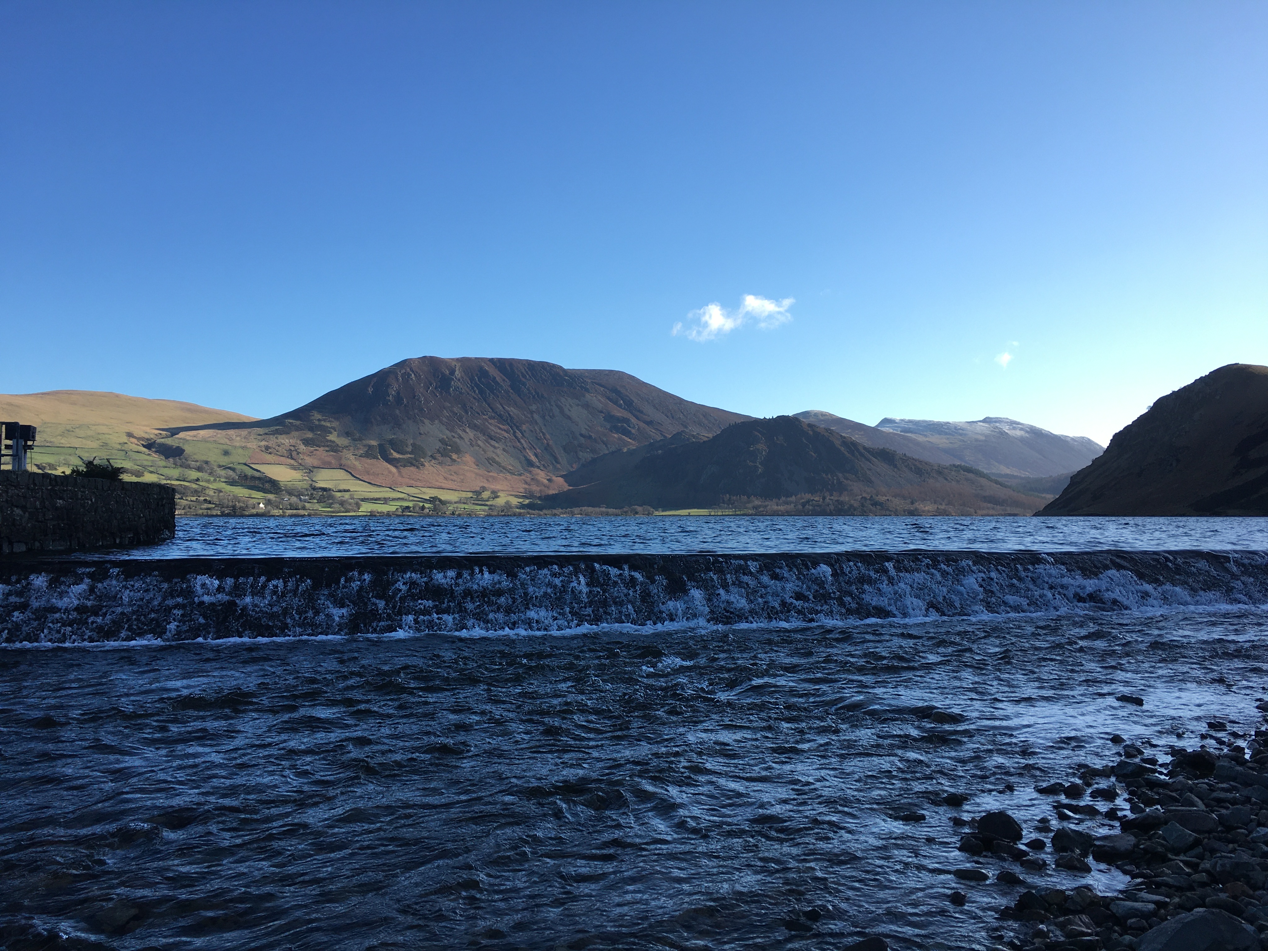
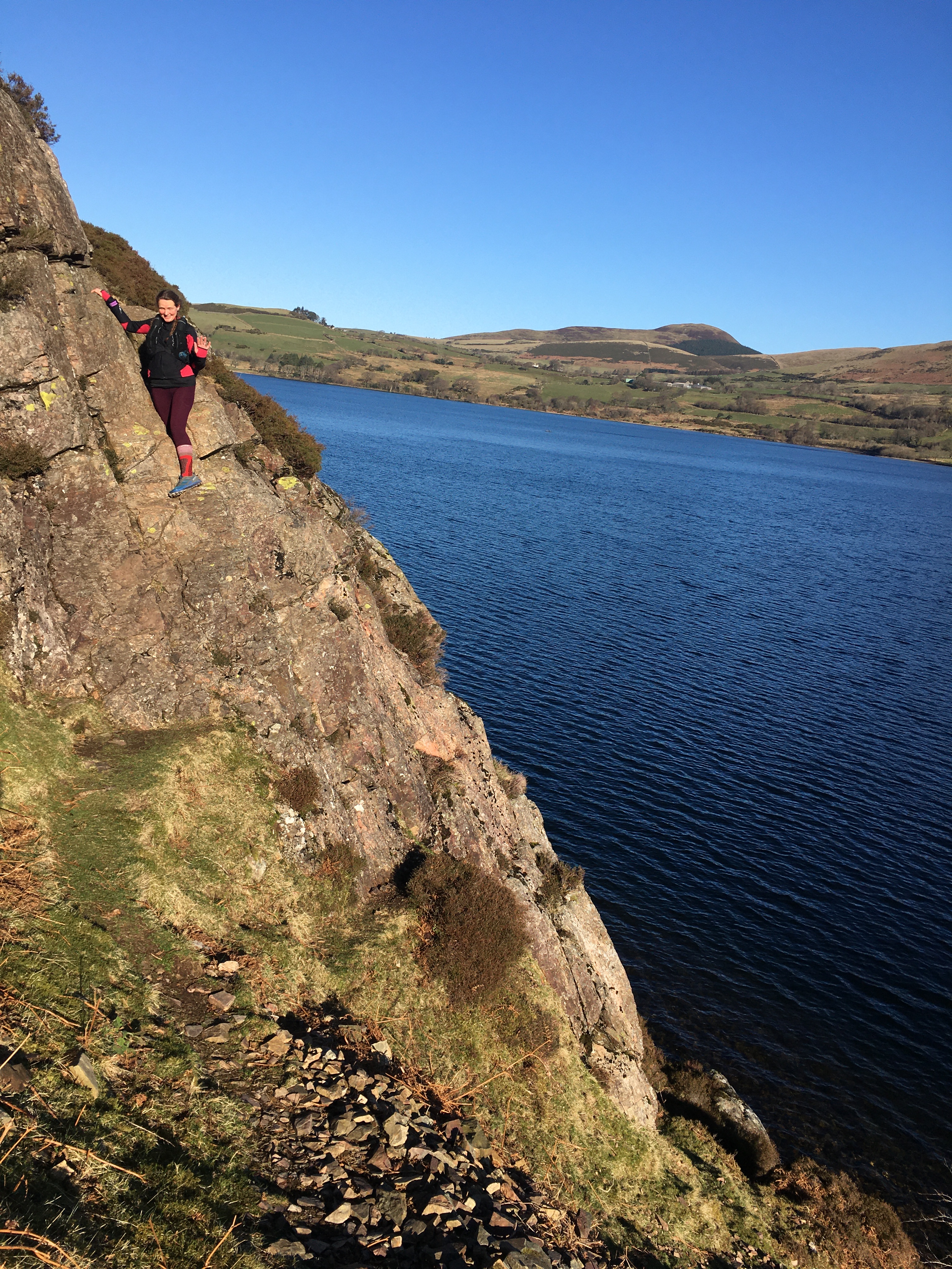
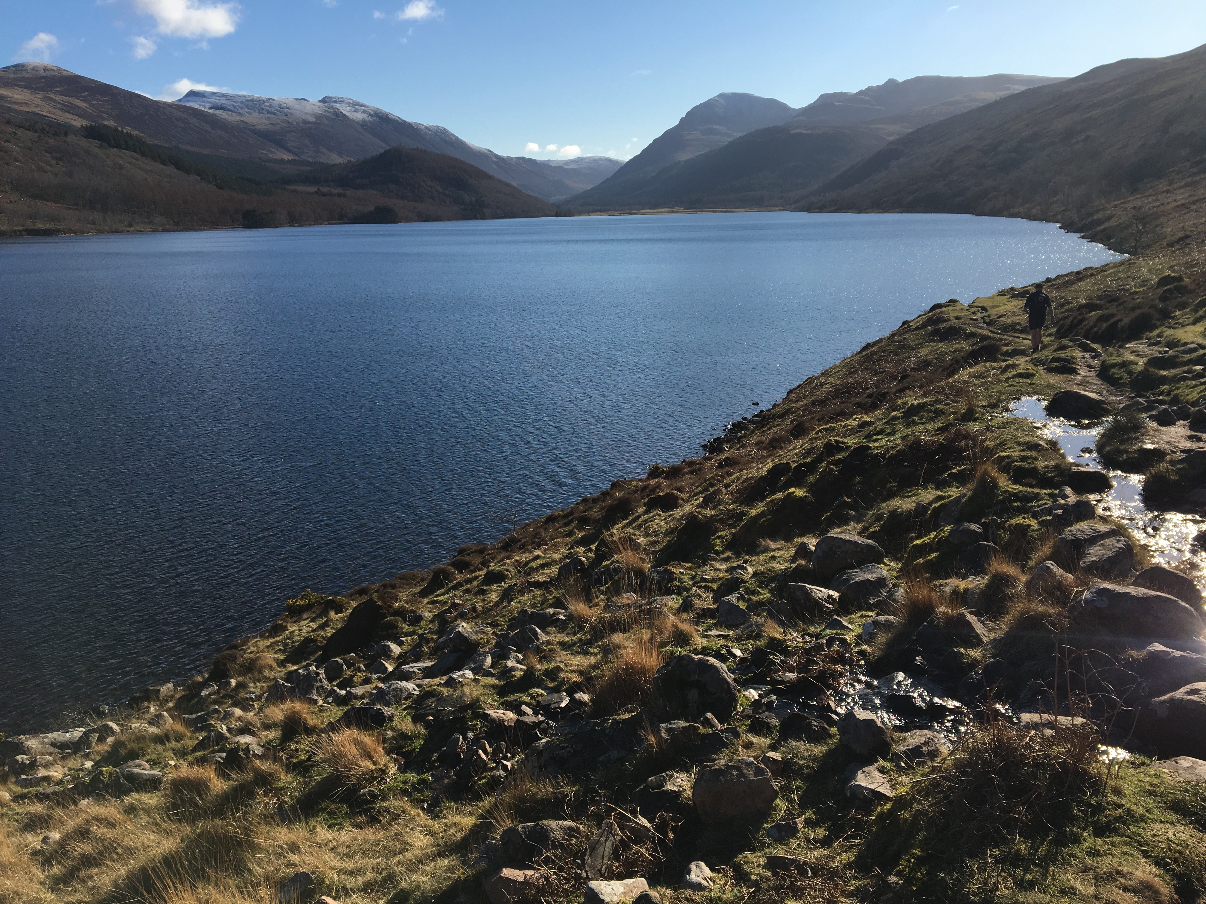
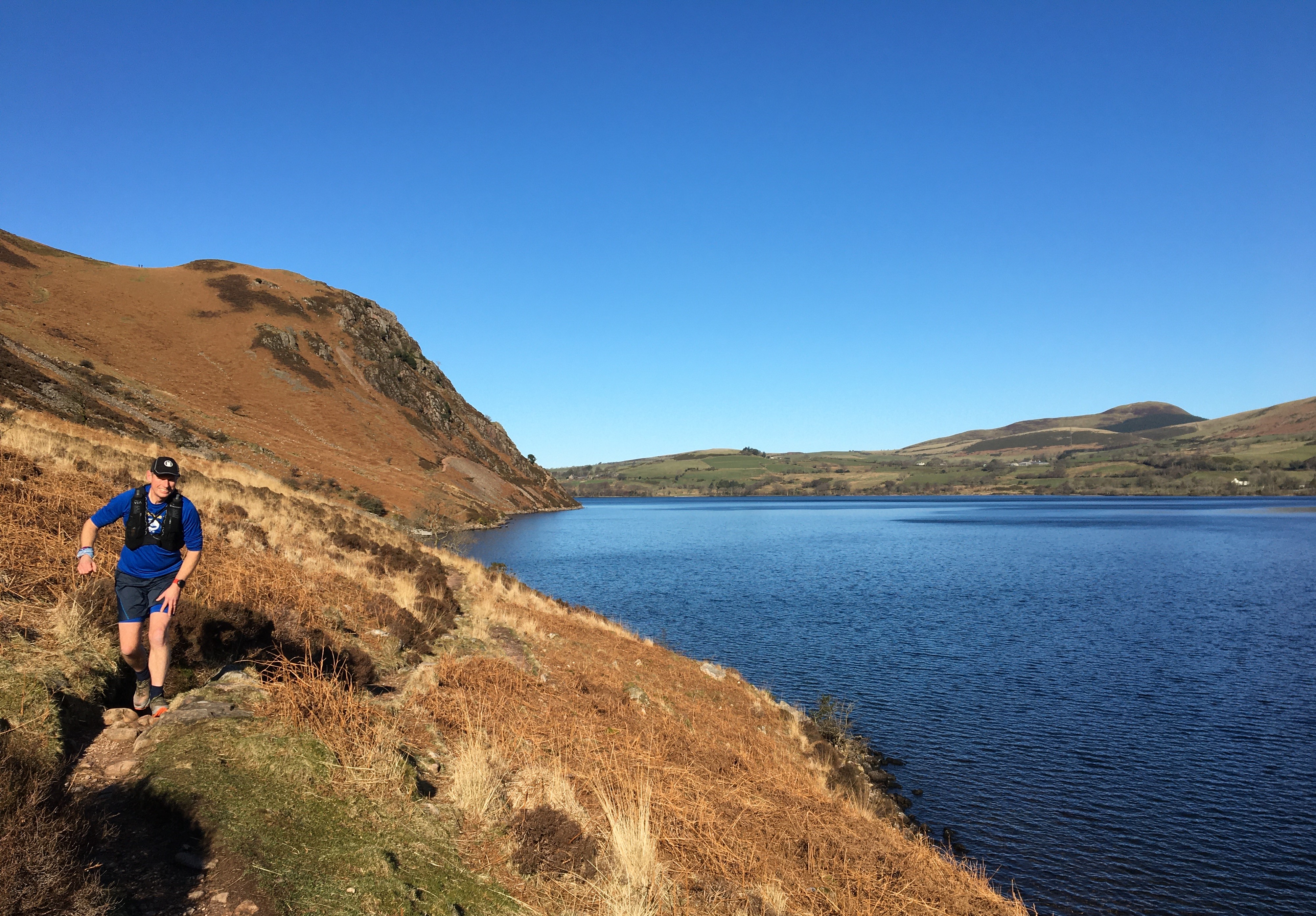
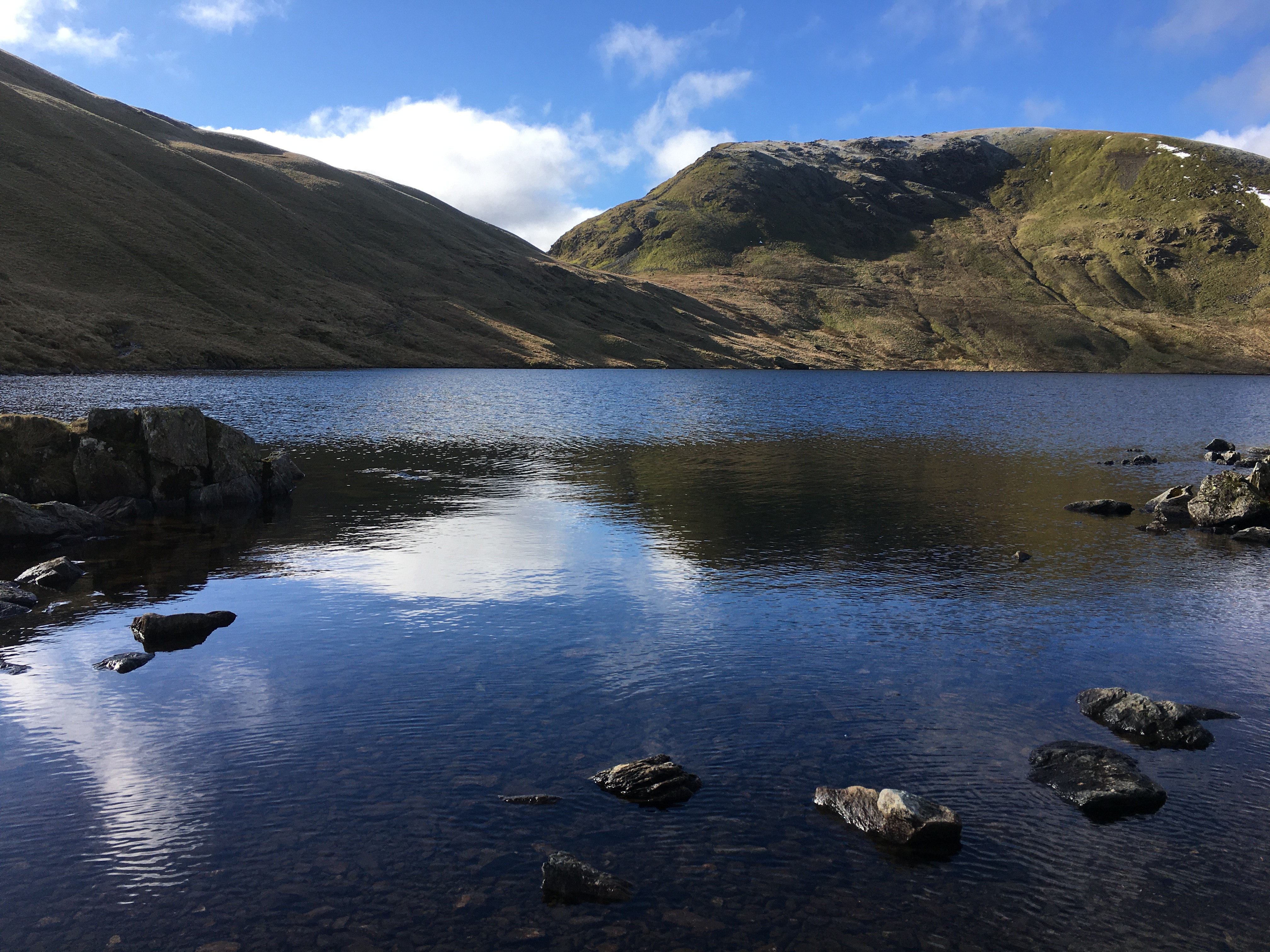
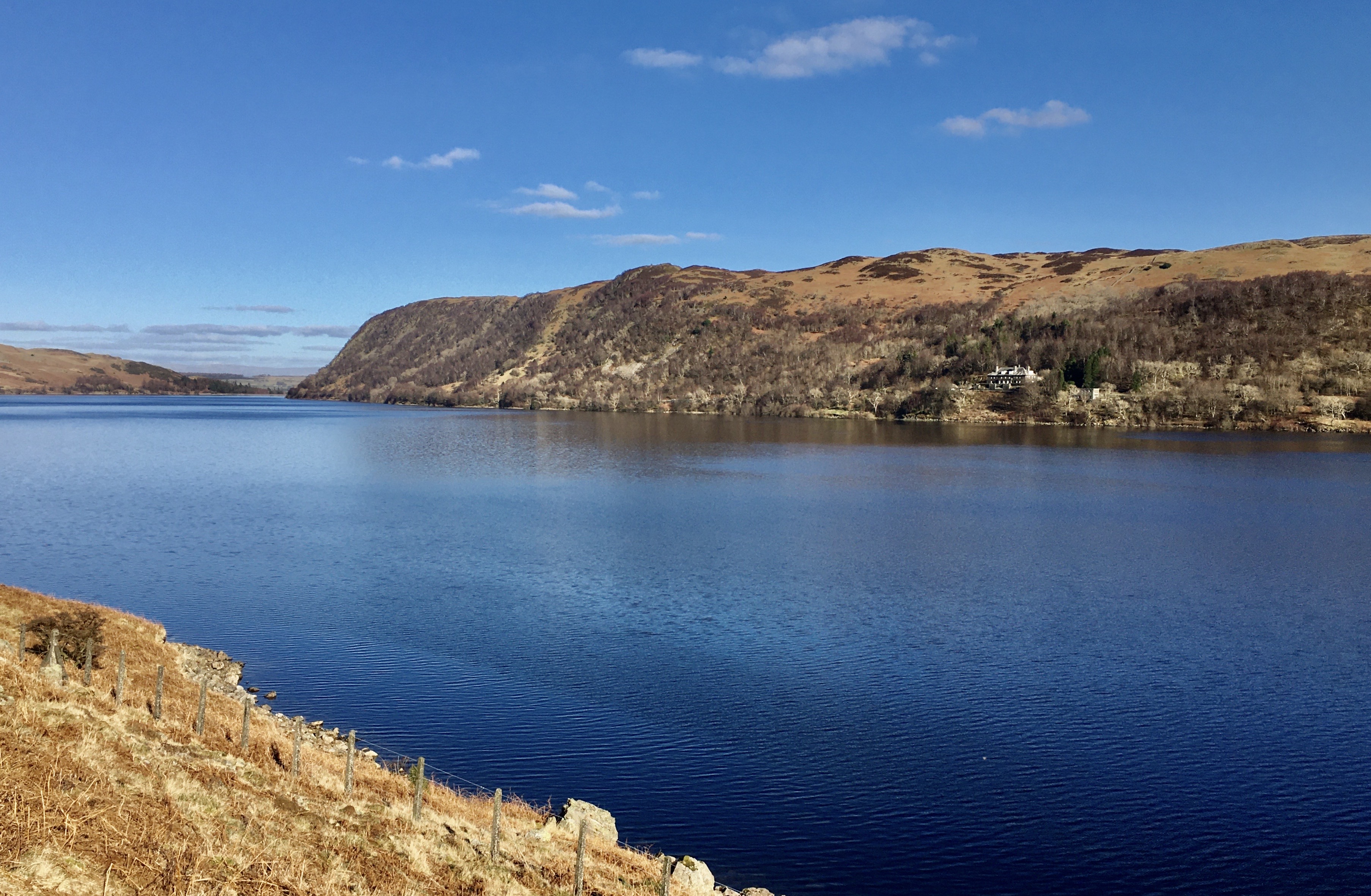
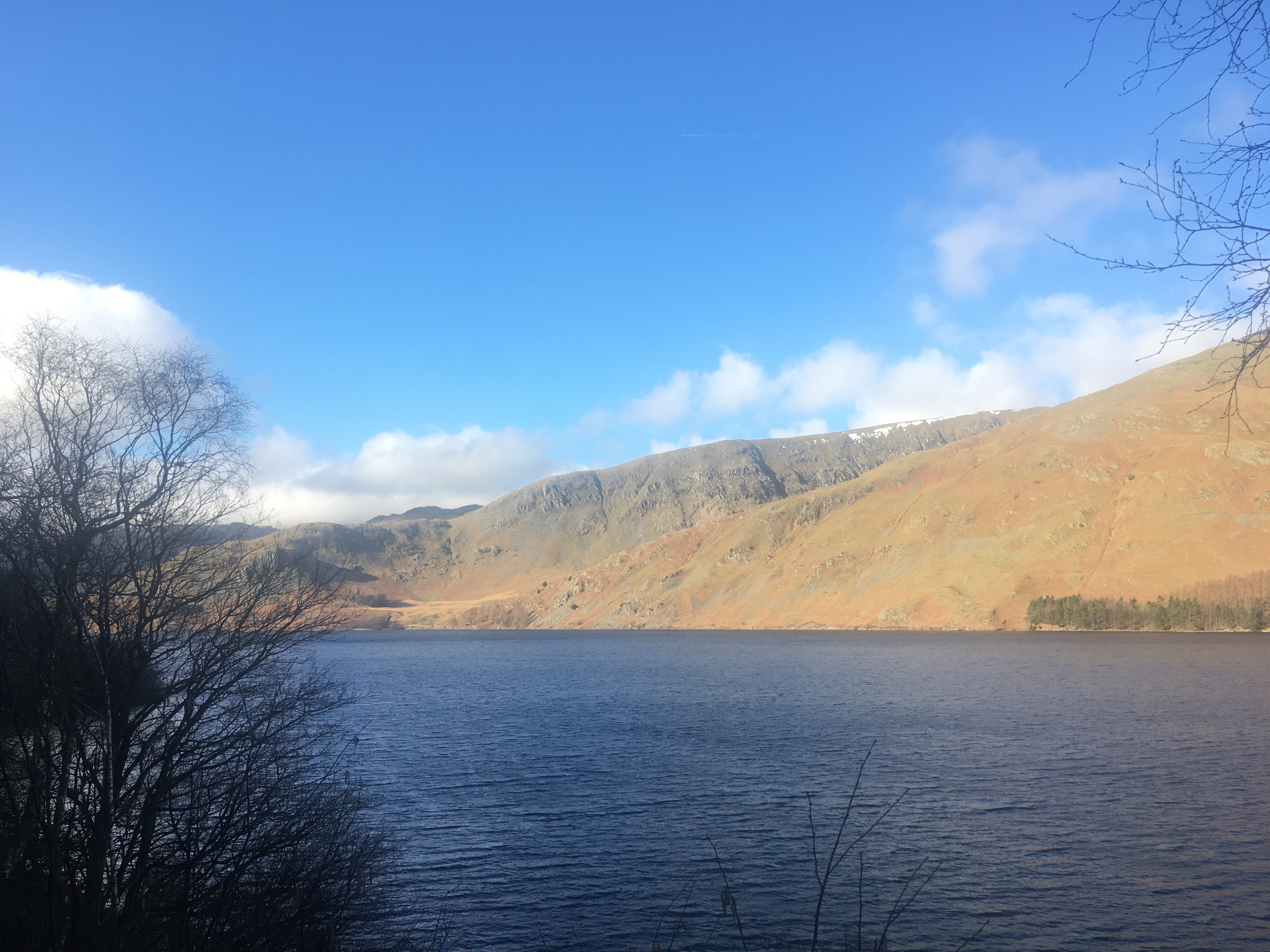
Out the door by 9. A short trot along the road to Ennerdale Water. Sunny day again so the lake looked wonderful with the snow kissed hills beyond. Our path along the south side of the Water was very gently undulating with a few tricky rocky bits, we climbed down one section where it would have been easier to climb up a short way to the good path. Hindsight is a good thing!
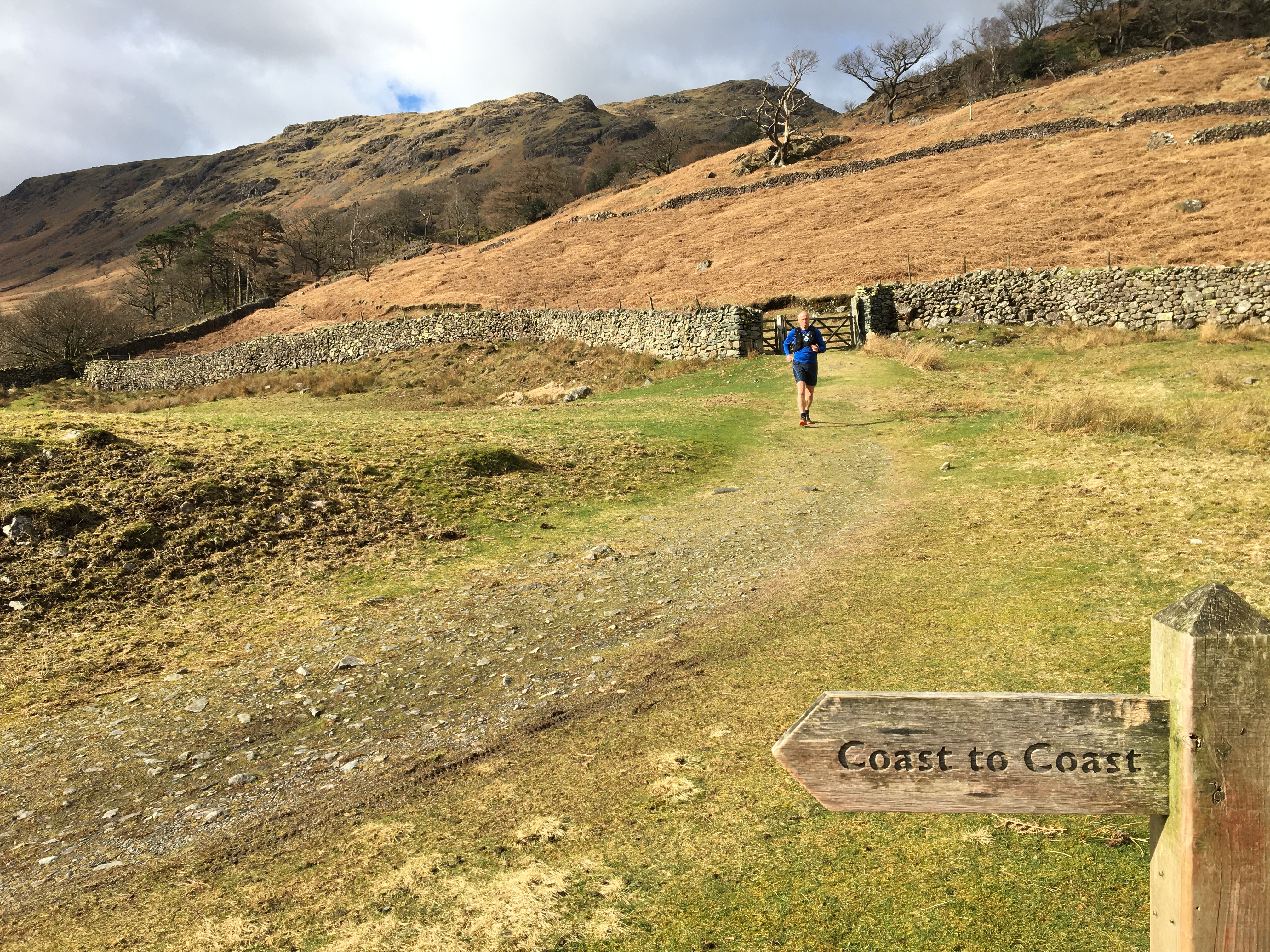
The signs at the end of the lake were a little confusing as we needed to go through the edge of the woods but could have turned sharp left to do 2 sides of the triangle but that wasn’t the coast to coast route. The only sign pointed left! EDIT race route is the obvious route that we didn’t do
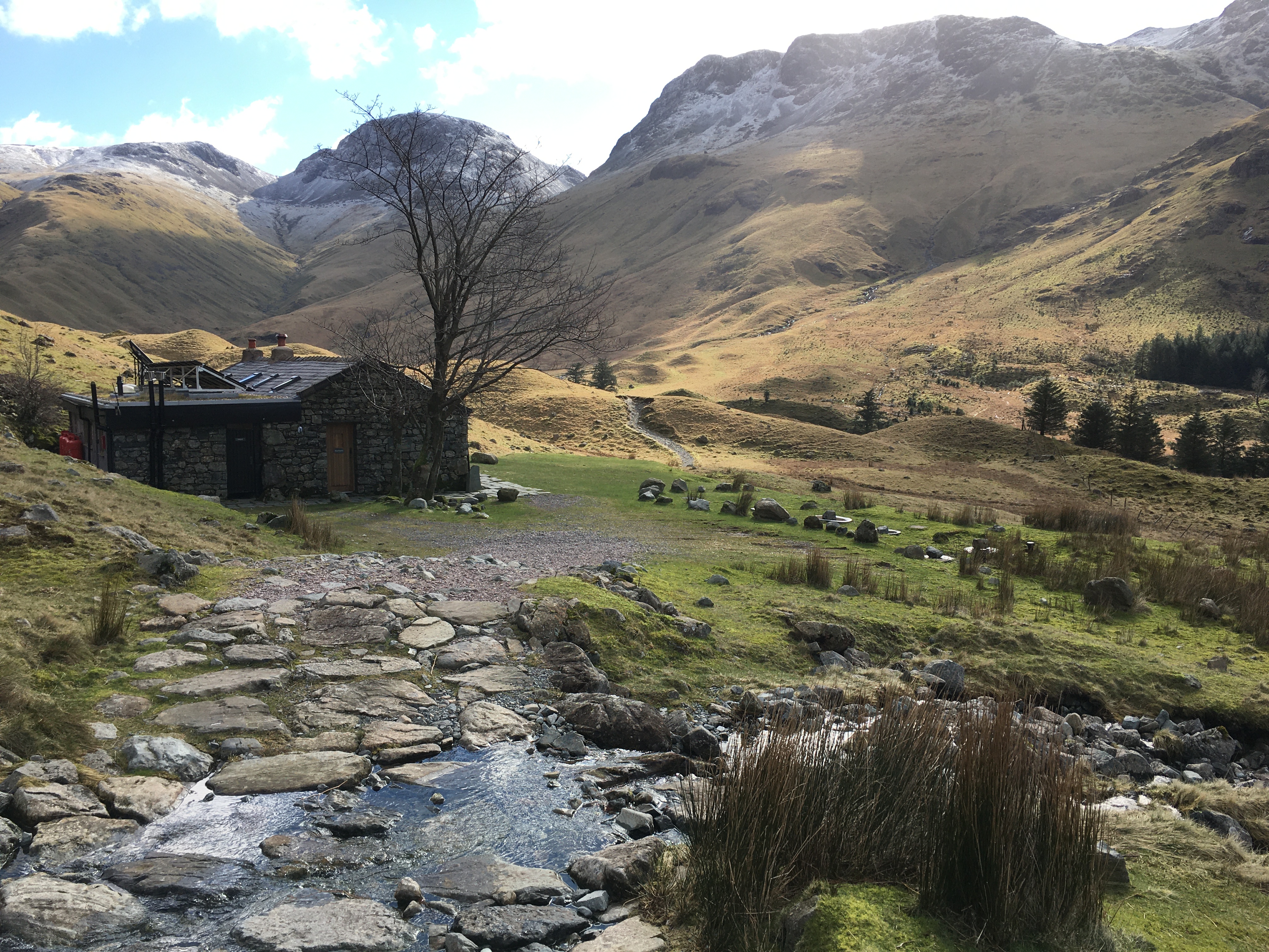
Great track up to Black Sail YHA. After this a steady single file track over slightly boggy ground then steep easy to follow path up alongside Loft Beck. It was only when we crossed the side stream and turned left and steeply up that we missed the path but soon found the steep steps up. The track on the top to Honister Hause was easy to follow with great views around. Then the down to Honister was tricky but there were paths down the side of the rocky trail.
Round behind the YHA at Honister and down a nice track to Rothswaite. The 2 C2C signs we saw were in good spots except the 2nd one pointed down a good track and we needed to almost immediately take a very steep left hand track down the hill and onto the riverside track we’d used on the Great Lakes 3 Day event.
Rothswaite is CP1 on the race so we called into the cafe. Tea for me, mocha and tea bread for Andy. We’d eaten our first sandwich at 11:11 then 2nd just after this. I had the other half of yesterdays chia bar.
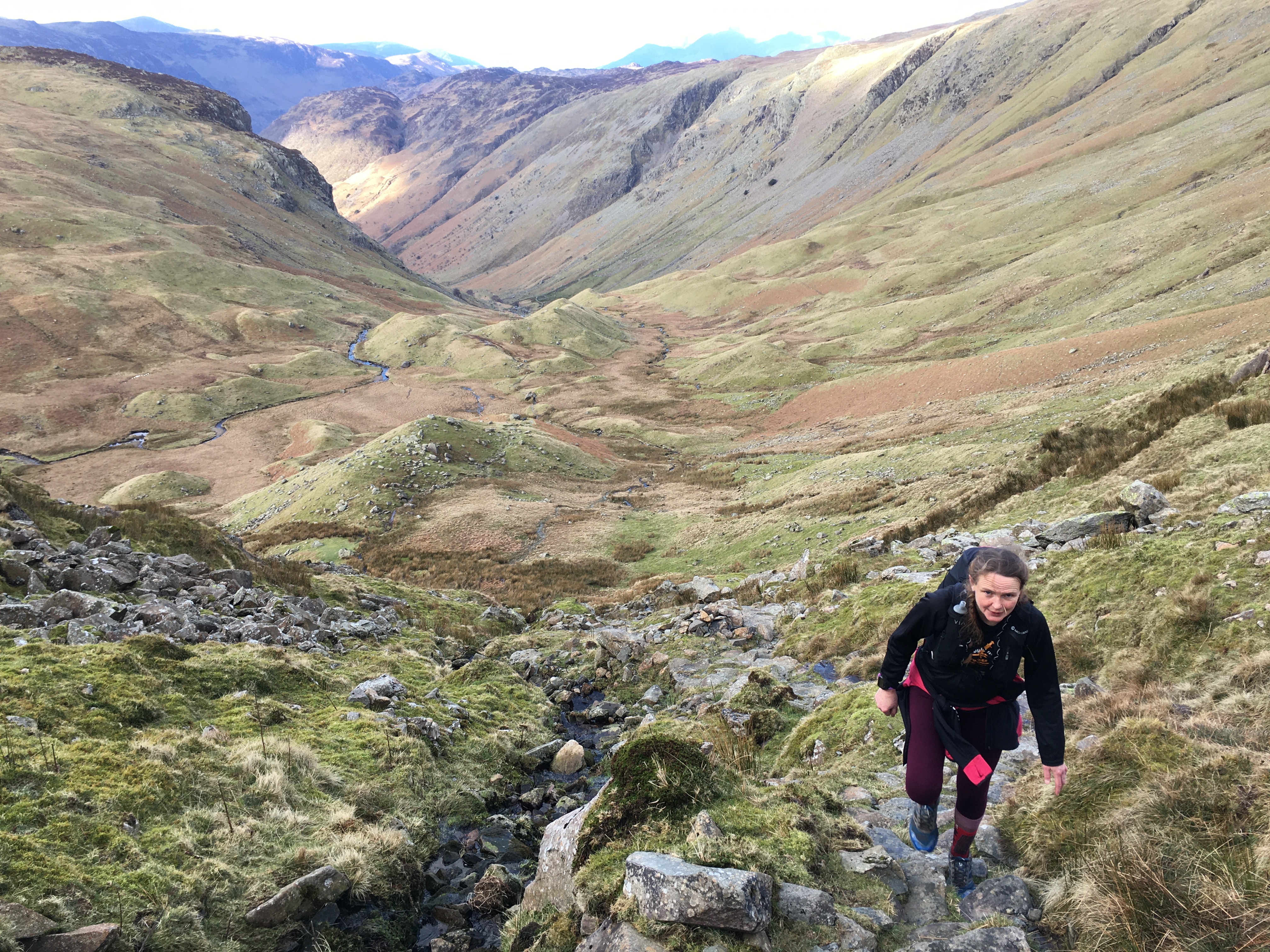
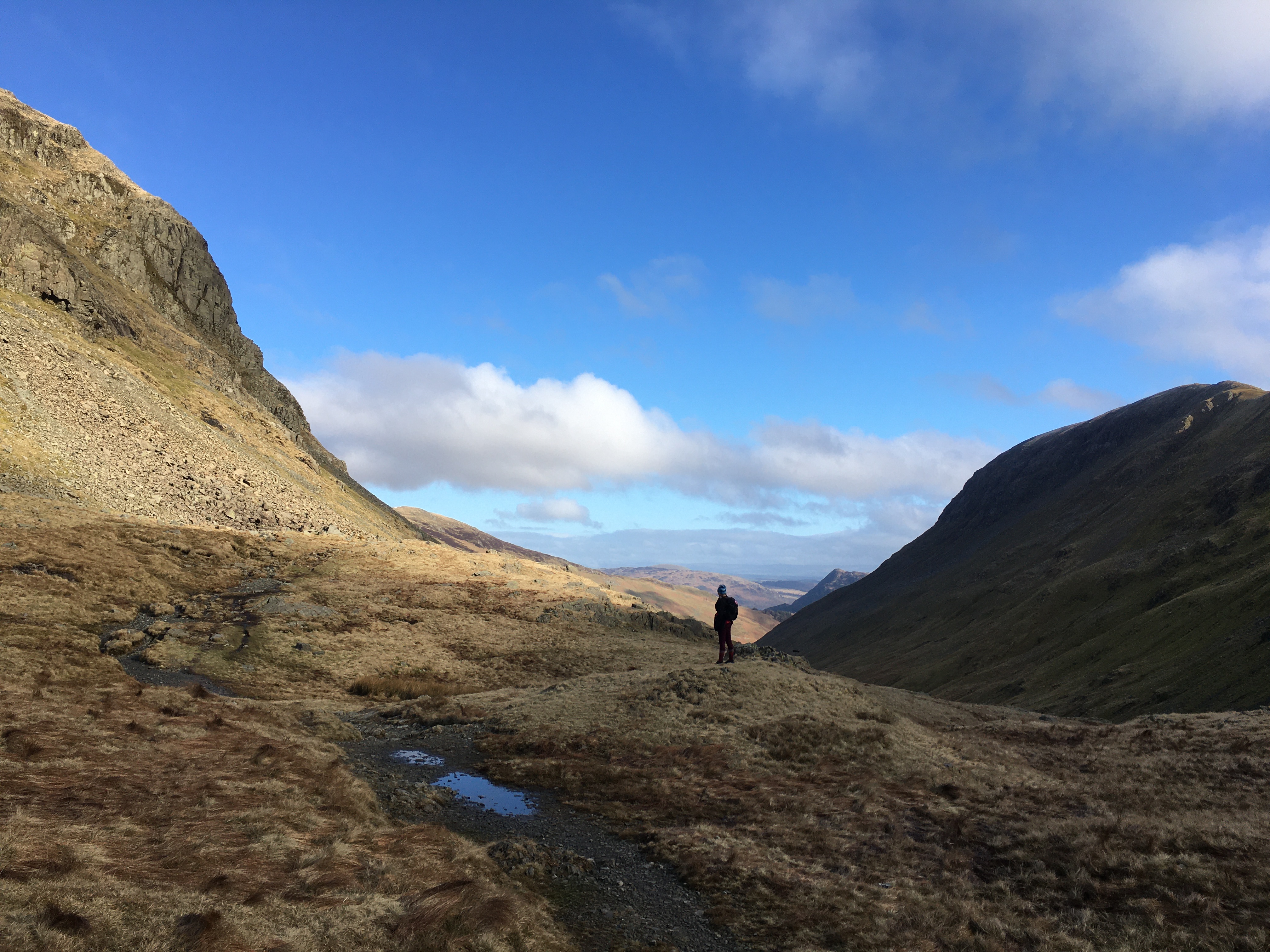
Cross the road and up Stonethwaite Beck valley. I got confused thinking we’d be on the Cumbria way valley but our valley soon narrowed when we didn’t cross the bridge and the rocky trail headed up and up! It was mostly easy to follow we often chose the boggy lower paths but we’re always close to the route we needed. This valley went on and on. Eventually we climbed a steep path near the end of the valley and thought we’d be at the top but we weren’t! The path mostly disappeared over Greenup Edge but we followed the cairns until finally we reached the top.
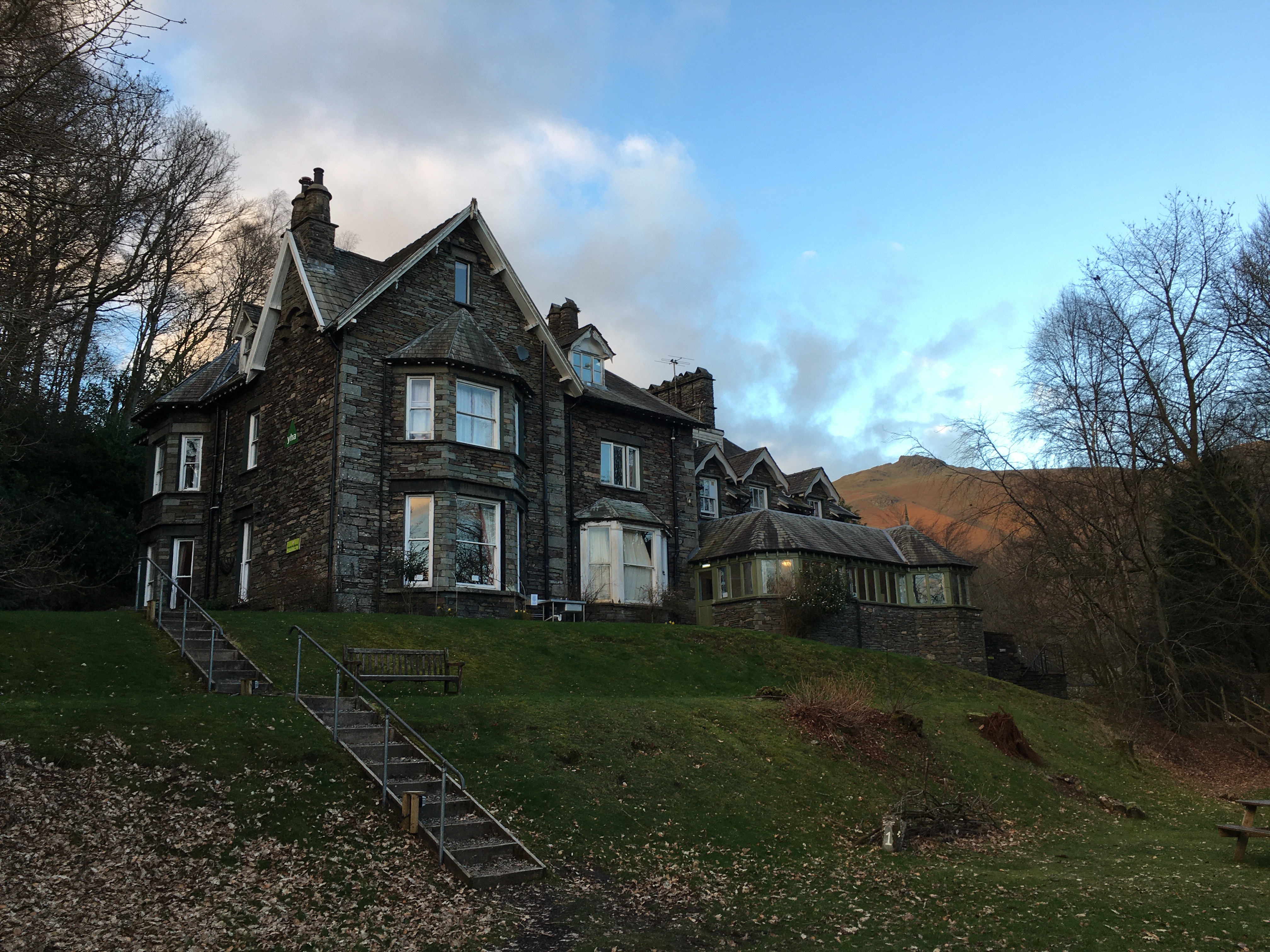
Down the other side was a good path to follow but rocky mostly so difficult to get a good pace. Since our tea stop our mileage really slowed even on the downs we were doing 21 minute miles. Finally we were on the road and headed towards Grasmere. The YHA was before we reached the village a lovely old building. We booked in for tea pizza for me and vegetable tikka masala and pudding for Andy. I zoomed with Mum, dad and Joe. Shattered it was bed time


6th March, Sunday. 22.8 miles in 8 hours 22
20 minute 03 average mile
1675 m of ascent, 1451m decent.
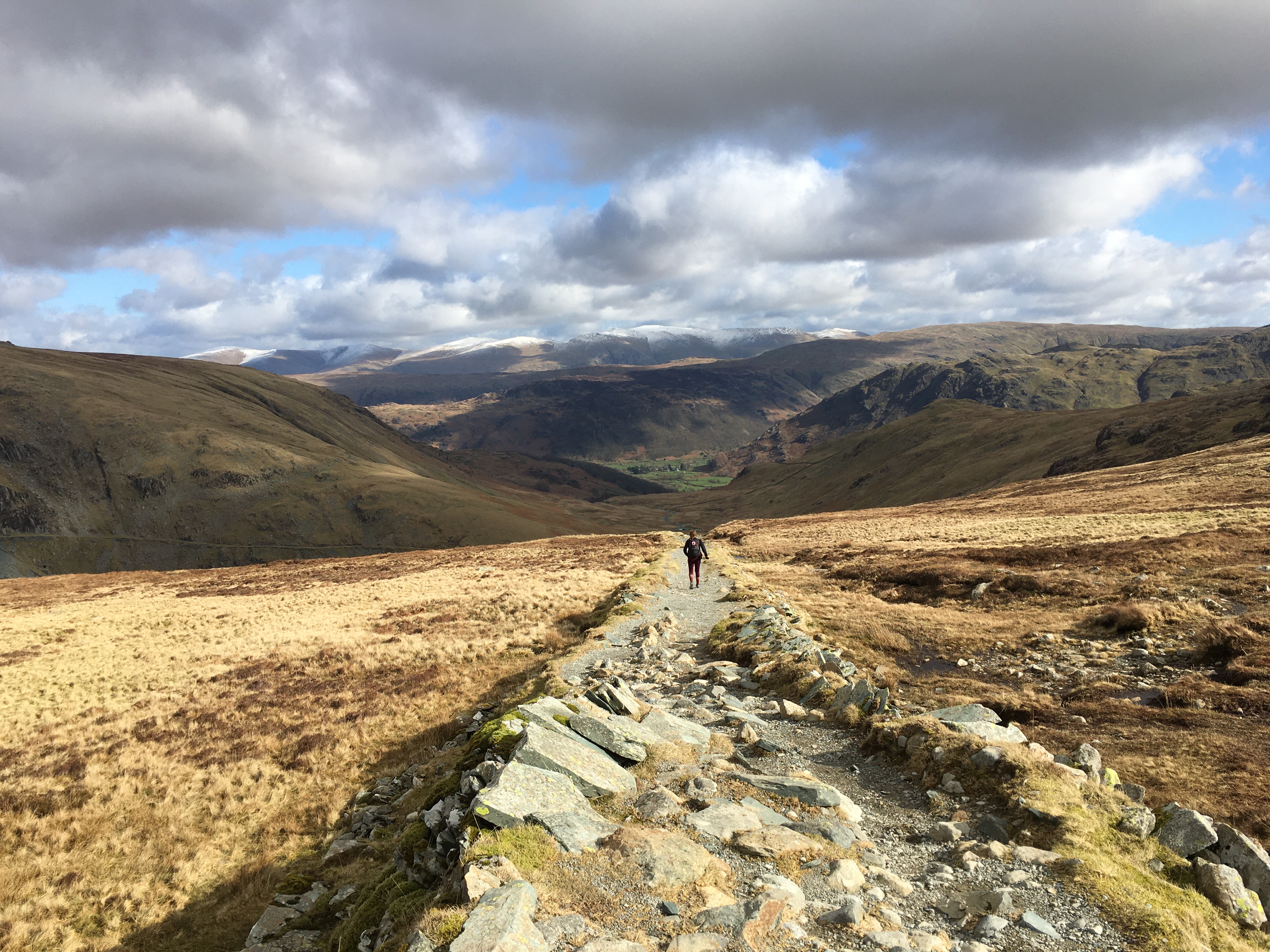
7:30 breakfast we’d packed so were ready to head out the door by 8:15. Back up the road about half a mile to re join the ‘flat’ track to the main road which we crossed and headed up from the sunlit valley towards the cloud that hung over the pass above. We followed the main path and I’d seen a rough path ahead which I thought we’d be following but after the stepping stones Andy headed to a bridge which we crossed and started to head up the valley. There was a sign pointing out the new coast to coast route as the lower path needed erosion control. I pointed out to Andy that my GPS watch wasn’t happy but we thought it would right itself on the very new path. We’d gone about a third of a mile when I mentioned how far away my watch showed we were from the path. Andy hadn’t spotted this and on looking at the official route we needed to head back to the stepping stones. Luckily it was a good gentle path initially not the steep rough one I’d seen. It soon got steep giving us great views back to Grasmere. The clouds ahead of us had disappeared and I was soon taking a top off.
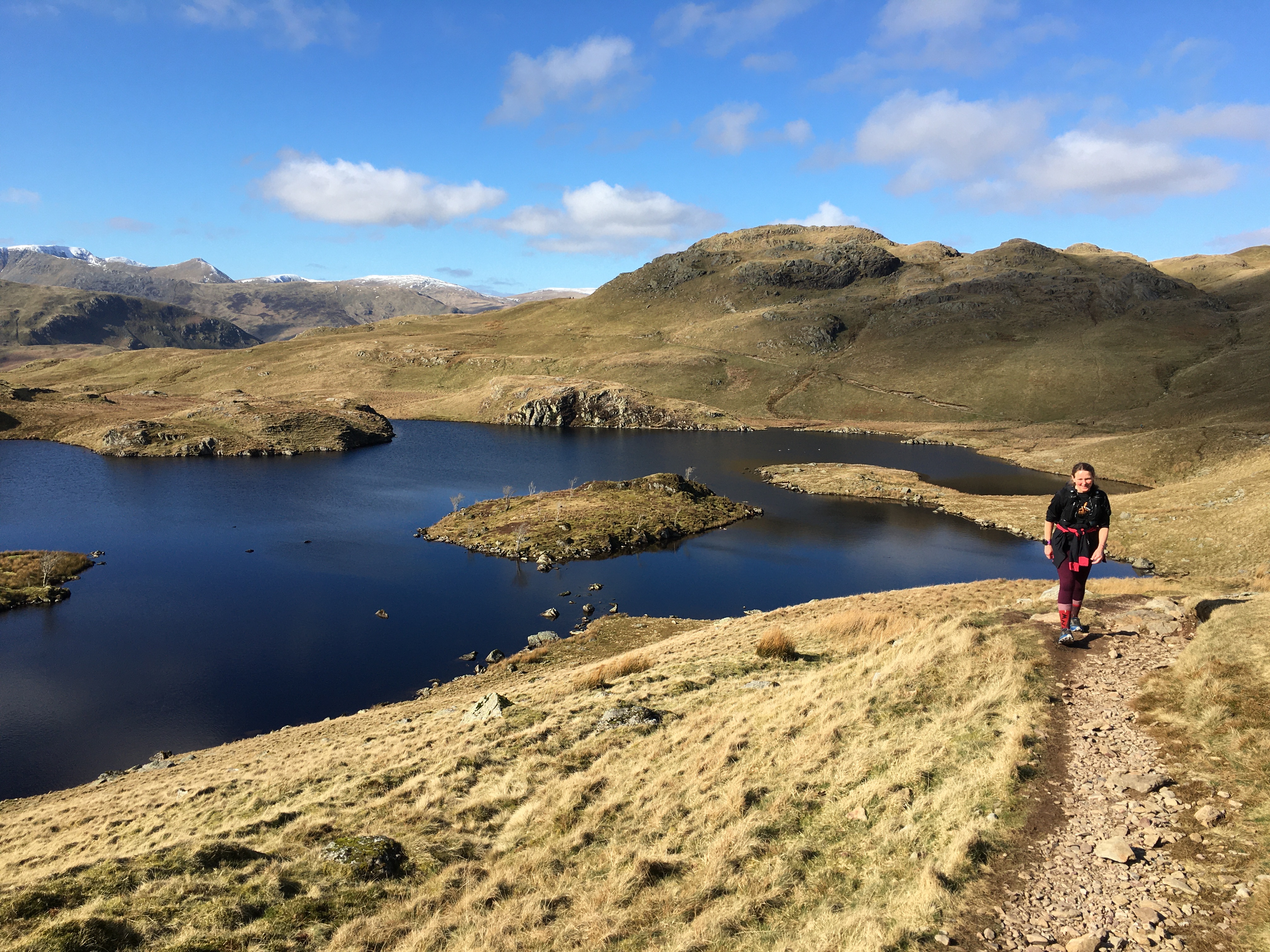
At Grisdale Tarn we took the south side path to join the path we know well from the Tour de Hellvelyn which took us down to Patterdale. It’s a stony path that’s hard to get much of a rhythm but was better than we remember from December. I’d hoped to stop at the cafe at the farm thinking it would be open on a Sunday but it wasn’t. We were still on the Tour de Helvellyn route climbing out of Patterdale on the stepped path. Another stepped path joined in from the right we weren’t sure where from but hope it joins further back on the path we were on as that’s the race route. We headed on round and up towards Angle Tarn rather than turning left there to head back to Ullswater. The path kept going straight up we nearly turned left before the path levelled out before the tarn.
We were seeing quite a few people today especially runners, one slipped past us we later found out he’s doing the Lakes Traverse. He was having a good look at alternative ways off the tops.
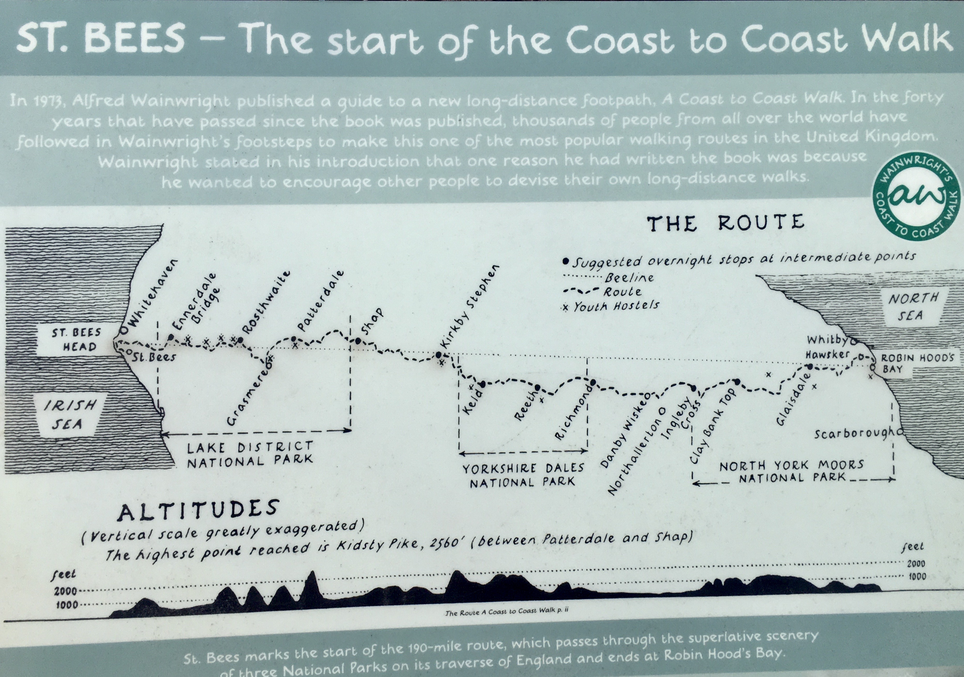
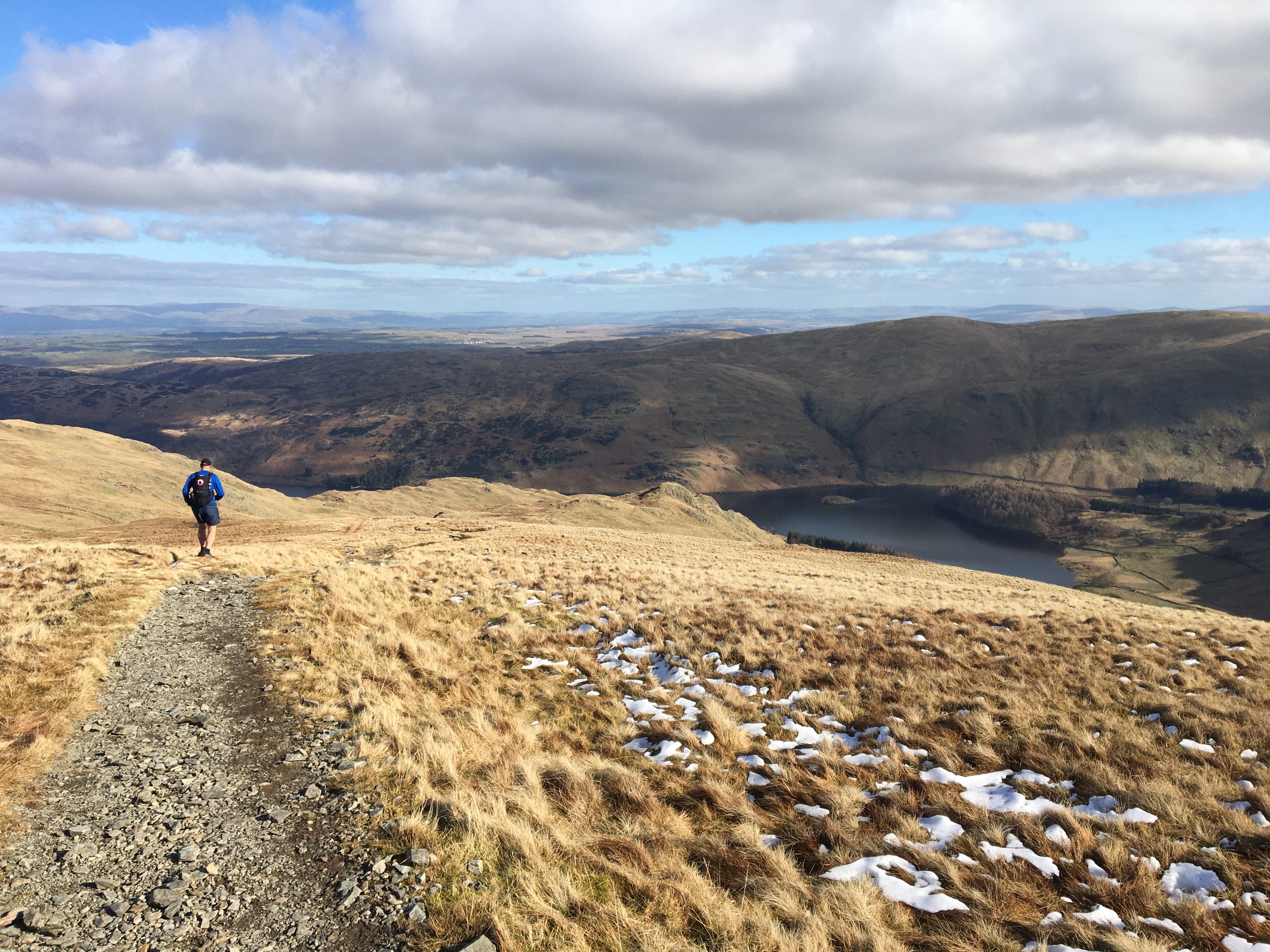
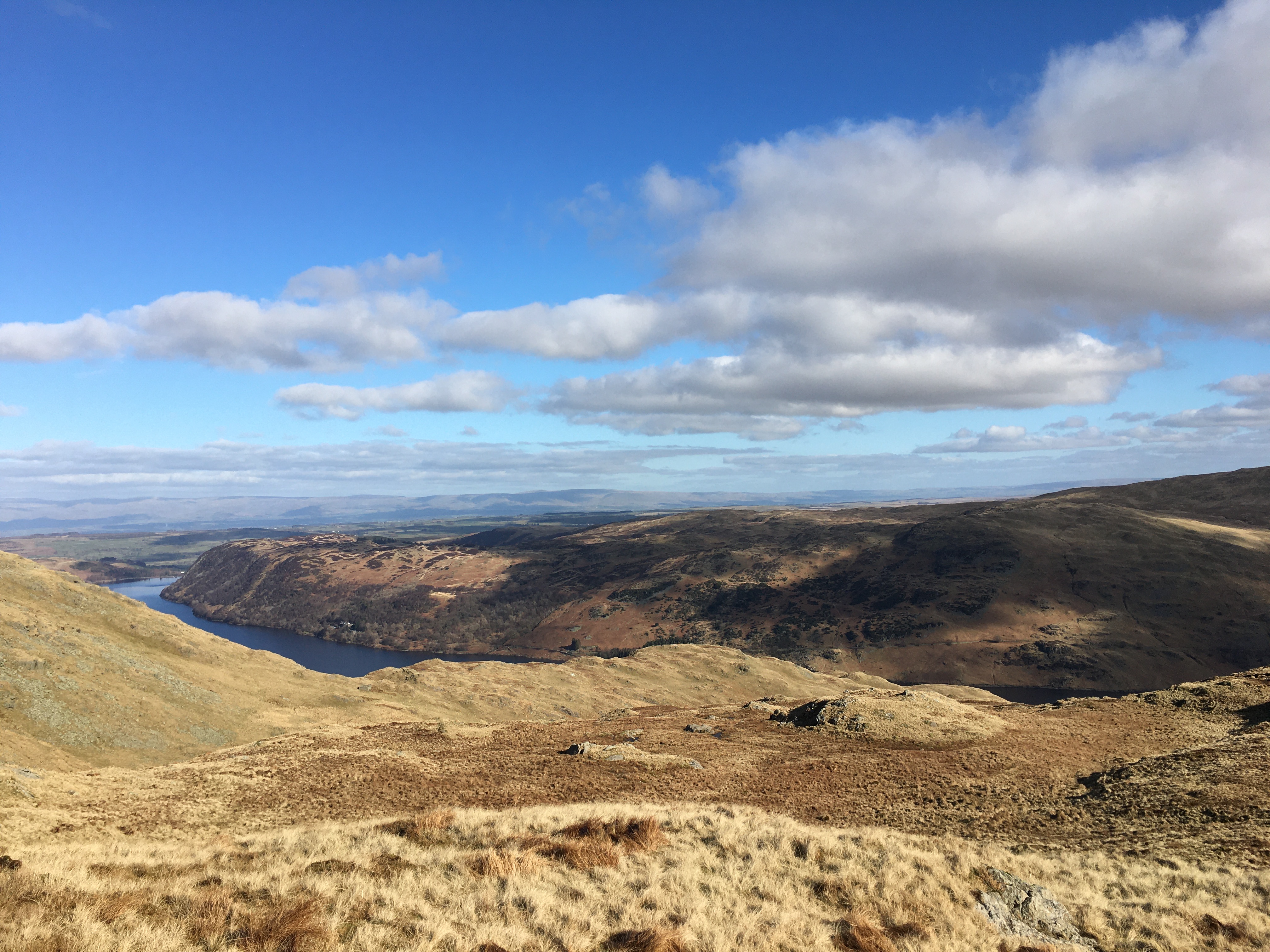
The tarn was stunning in the sun light. We kept it to our right as we swung round it in search of higher ground. A few more gently undulating miles before the climb past a snow covered Grey Knott. Andy recognised a runner coming the opposite way, Richard Lendon, Spine racer. He was on his commute to work in Grasmere. He’ll stay in the YHA his car is there already. Just after here the coast to coast goes 2 sides of a slight rise but our route took us over the climb which seemed odd but we followed it all the way to the highest point of the whole route Kidsty Pike. We were back on the coast to coast route now. Stunning views down to Haweswater and we started the decent. It was mostly gentle and grassy tracks with a few steeper rocky sections but nothing too bad
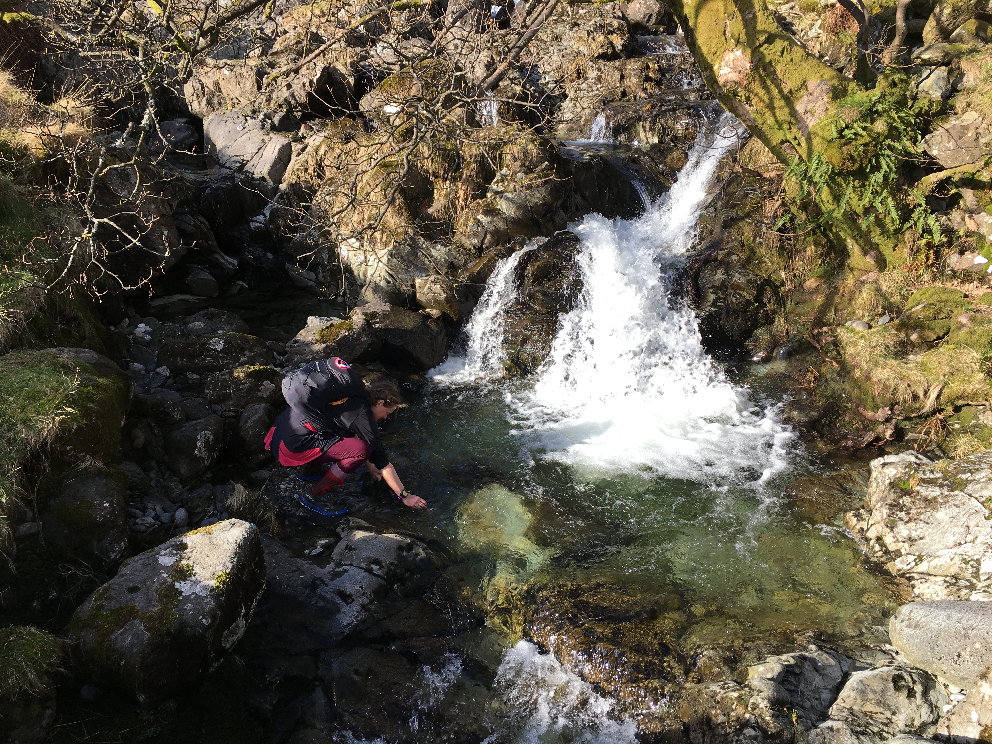
We were delighted to be on the lake side path and followed the race route for the length of the lake. The Lakeland 100 race comes along this in the opposite direction and I’d forgotten how undulating it was. I knew it was rocky under foot! I got water from the first stream I could and we trotted along running when we could and striding out the rest.
I could see the reservoir dam wall for ages but didn’t realise we had to go past this to the road and then through some trees to the bridge that we don’t cross on race day but we cross the road and down the side of it. For the hotel it was a 2 road miles on the other side of the lake, a little sole destroying but we pushed on. We’d talked about hitching a lift but most of the cars were coming towards us so we pushed on. There was meant to be a lakeside path but signs on the gates so it was to dangerous to use kept us on the road looking down I couldn’t even see the path!
The hotel is stunning, Art Deco, we’ll maintained. Interesting to learn the history of it that it was built by the people flooding the valley and therefore Dunn Bull Hotel at Dalemain.
There was a bath in our suite so I enjoyed a long soak. We then washed clothes in the bath and as I pulled the plug one of Andys socks disappeared down the plug hole with nothing to stop is being swept away.
Amazing food in the restaurant but tiny portions so we shared the cheese board which was perfect. Back to the room to watch Misbehavouir.
7th March. Haweswater to Kirkby Stephen. 26.38 miles in 7 hours 29 (86.95 miles total)
17 minute 02 average mile
918 m of ascent, 945m decent.
A lie in as we couldn’t have breakfast until 8:30. We were fully packed and ready to go. Andy chose the vegan breakfast as it was avocado and spinach to replace the egg. We chatted to the table next to us, they’d run the Haweswater half yesterday. We talked about the 2 mile hike out from here hoping they might give us a lift. None of the frozen cars were on the move as we left just after 9. One past us half way so we just kept moving. The air was cold but the sun was shining on the far side of the lake. 3 fighter jets flew close above us, noisily.
At the bridge we were back on route. It was an undulating day along a few streams and over fields to get us the 6.5 miles to Shap. Tired legs meant the going was slow but then the path wasn’t always easy running. I remembered the ruin of Shap Abbey just before the town but not much else.
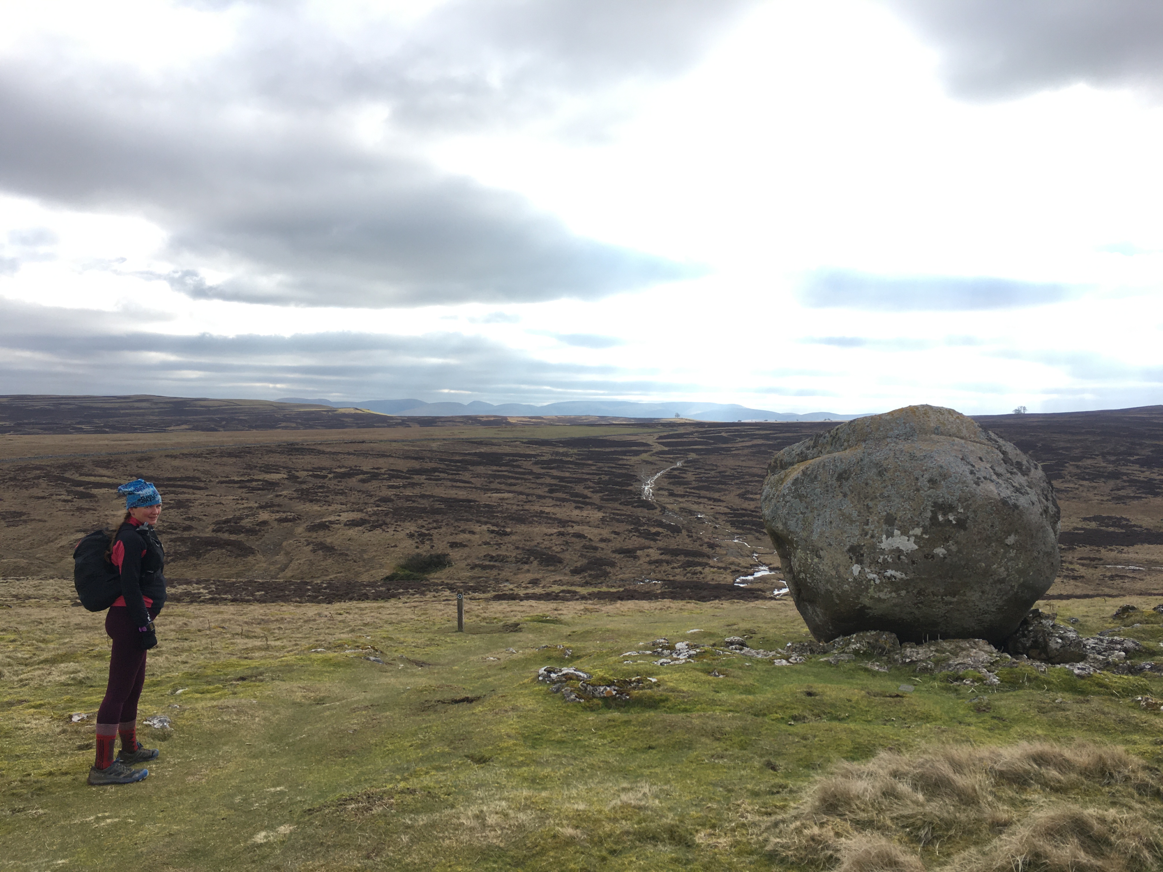
We headed straight through town and out on the 3 Rings of Shap route past the quarry and stone circle, (that’s off route so you don’t actually see it) but headed out onto the moors rather than continuing on that race route. Not many signs although getting more frequent and often a post which has the ‘aw’ on, they stick out of the otherwise featureless moor. We’d seen on Facebook someone mentioning a new fence in place across the path, the farmer said they didn’t intend on putting a stile in. We could see the path clearly leading away from it, it wasn’t far to go round the fence and get back on track but it was quite lumpy under foot.
We had to check the OSmap on Andys phone a few times and I regretted not downloading the official way that was sent to us on Outdooractive the day after we started this trip. Andy had it on his phone but it’s not so easy to use. We only spotted later that there was a different route at Orton. We knew there was something different here but as there were 2 routes we followed the one Andy had downloaded originally from the event organisers. Looks like the way we should have gone will be easy to find and only takes out a short section of the route we recced today.
From here the route flattened out quite a bit but was also on road or track for awhile. We were both still surprised how slow we were moving 3.5 miles a hour, we’d been averaging slower than 3 hour the previous 2 days with all those hills! Little trees and a bolder on its own.
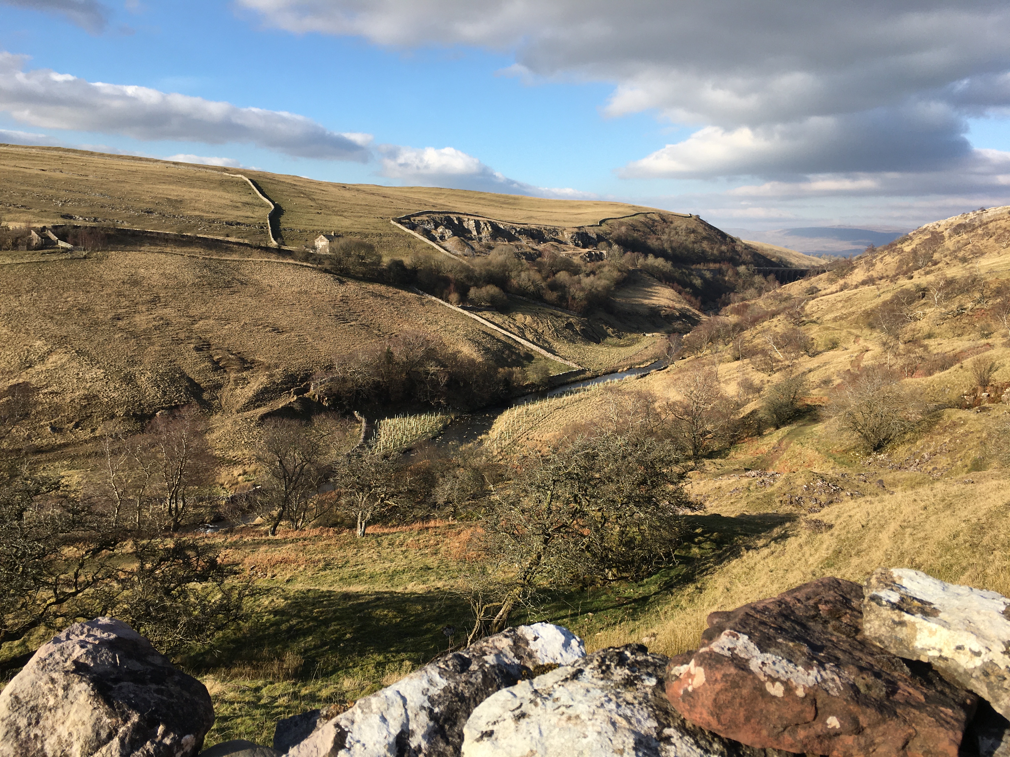
Andy had mentioned a gorge we went down. We missed a stile so were off track heading down a slope but managed to find a stile to get to the correct side of the wall. We should have stayed closer to the wall earlier to find it. Then down to a bridge before the last big long climb up. There was a choice of paths but usually they were going the same way. Over the other side along the road a little before heading under the railway and into town. There was a road behind the houses which took us into town we took a side street to get into the main road so we wouldn’t miss the pub so probably just missed the turn for where the checkpoint will be. I was shattered and my feet really hurt.
It was another lovely day but with a lot less sunshine. At times the wind was biting cold but mostly it was a pleasant temperature. I didn’t take my long sleeve top off at all
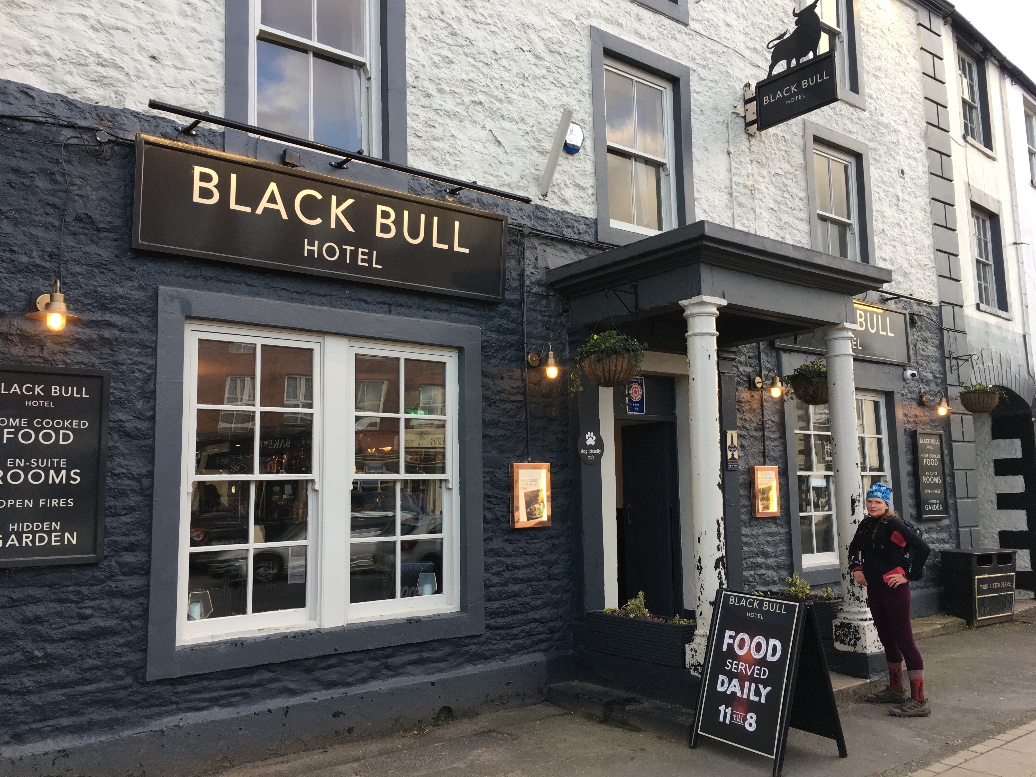
The Black Bull pub. We were on the top floor again but I’m sure it’s good for us. We ate in the pub. I wasn’t keen to walk anywhere else. A guy from London, Rupert, mentioned he’s doing the same route as us but had no map. He’s planning on using his phone. Andy sat with him and showed him the map and gave him so advice on the route.

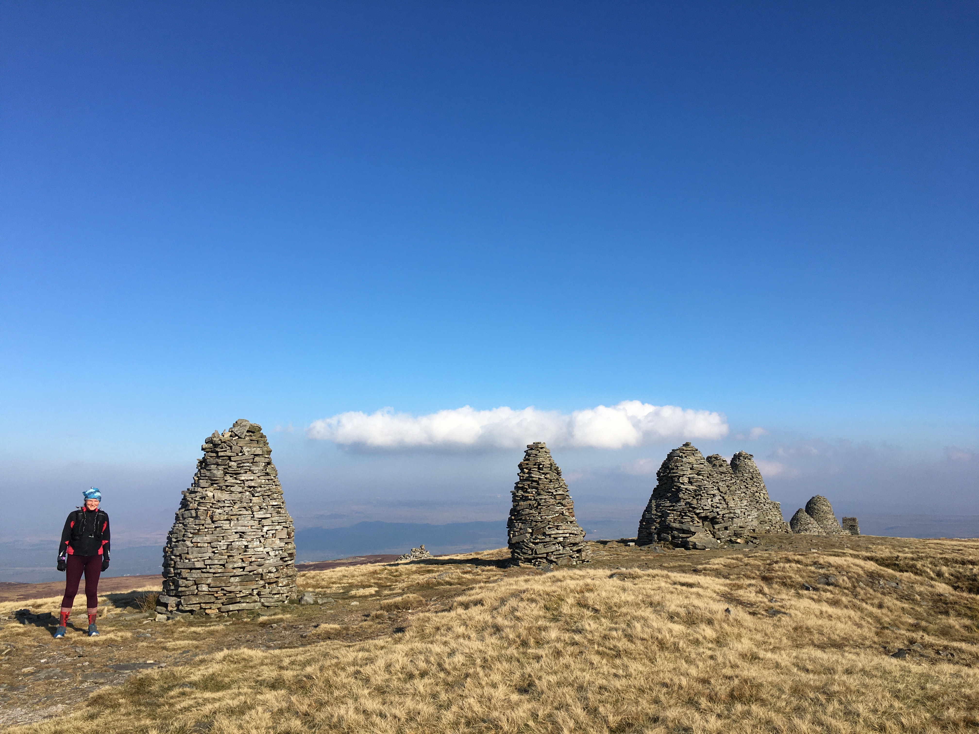
8th March. Wainrights Coast to coast, Kirkby Stephen to Reeth, 22.83 miles in 7 hours 9.
18 minute 49 average mile (109.78 total miles)
1540 m of ascent, 1491m decent.
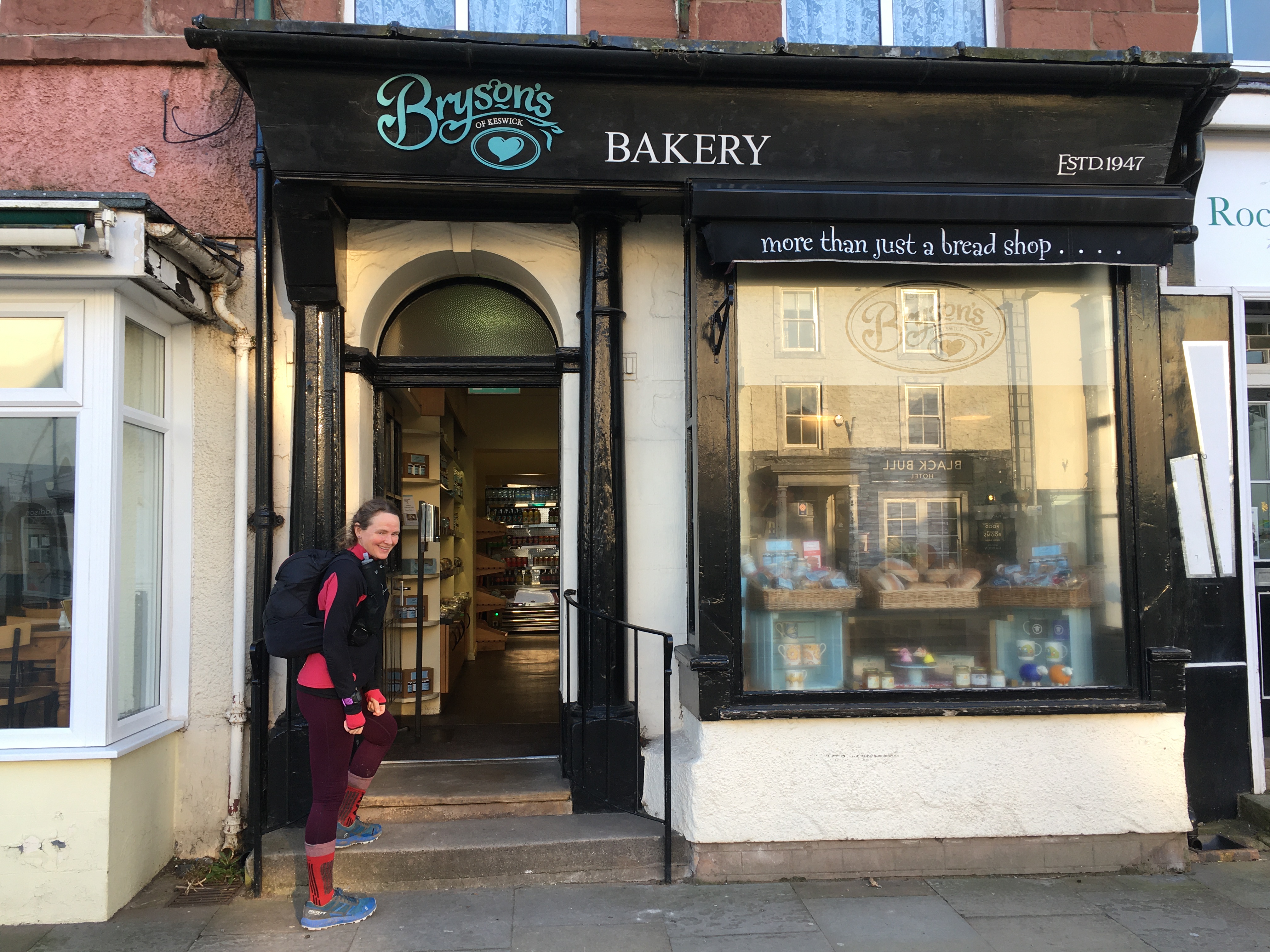
No breakfast at the pub but Brysons cafe across the road was open from 7:30. We both got egg mayonnaise sandwiches for the journey and a slice of cheese and broccoli quiche to eat as we crossed the river and started the gentle ascent. How Andy knew the route to the river from the main road, as it was a narrow passageway next to the bank, I’ll never know!
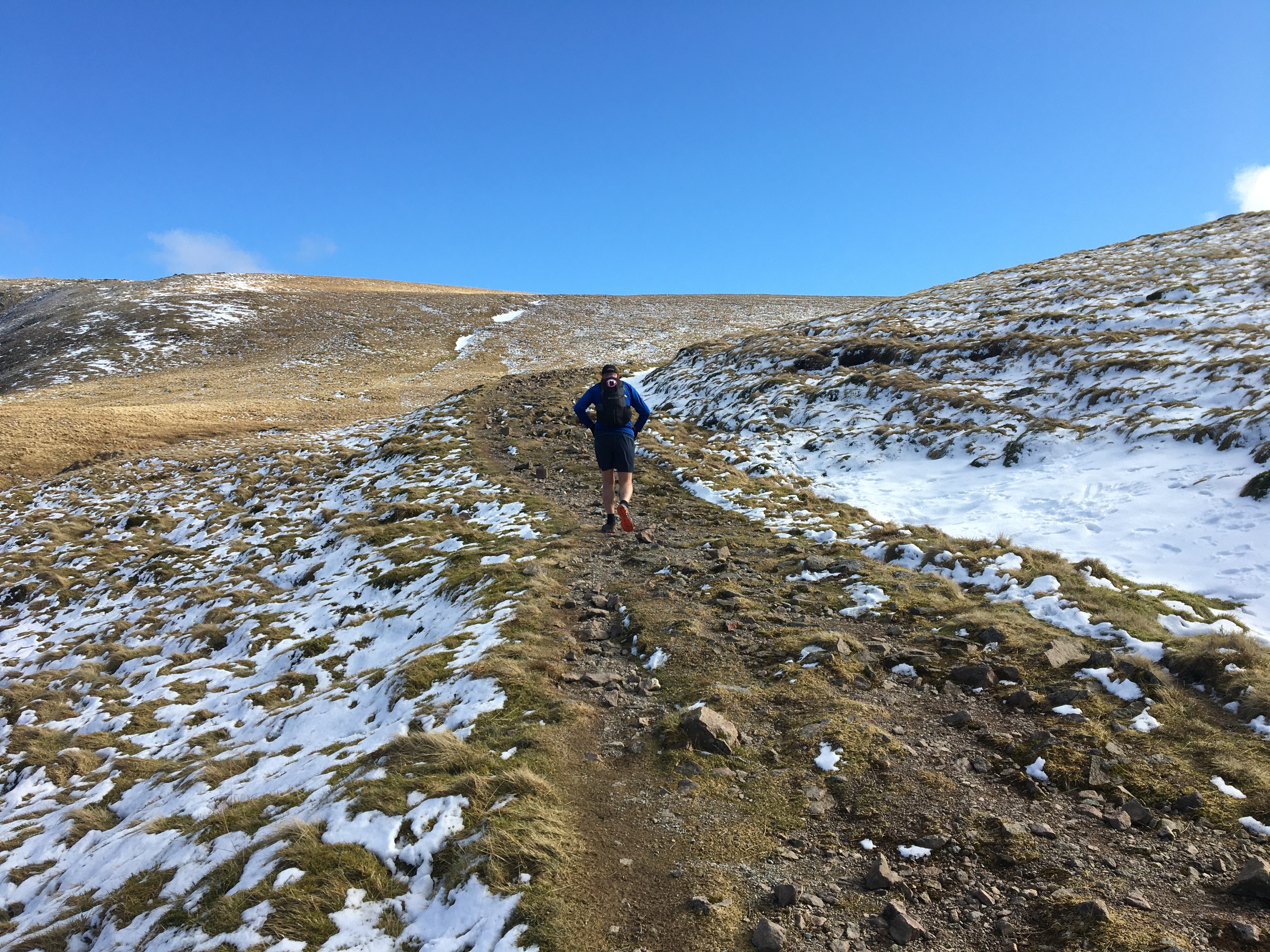
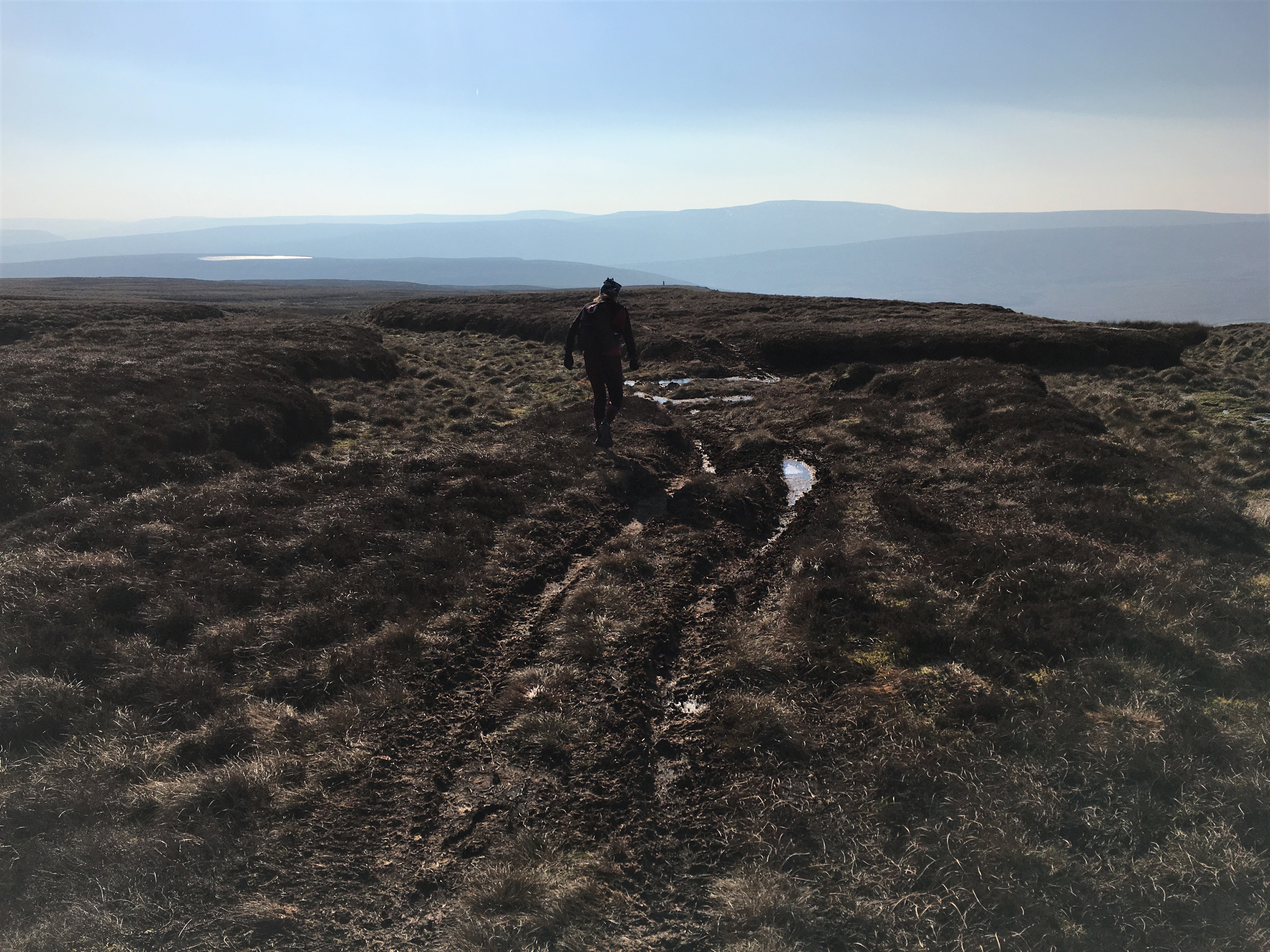
Mostly straightforward with signs to get up the single track road towards Nine Standards Rigg. The wind was strong and I struggled to catch my breath. It didn’t take long before we were both cold but with buffs and gloves we were warm enough as we kept moving. The track up to the Rigg was frozen but clear. We didn’t pause for long at the top before turning right and following the race route off the top. There’s 3 routes from here depending on the season. We were expecting bogs but with the ground so frozen it was easy going. Just a few times it was a soft landing with a bit of cold water getting into my shoes but so much better than we expected. As we turned towards Ravenseat we could see someone walking towards us. It was Rupert he’d gone the more direct route but turned left instead of right. He and Andy chatted as they walked the right way but I had to jog to keep up with them!
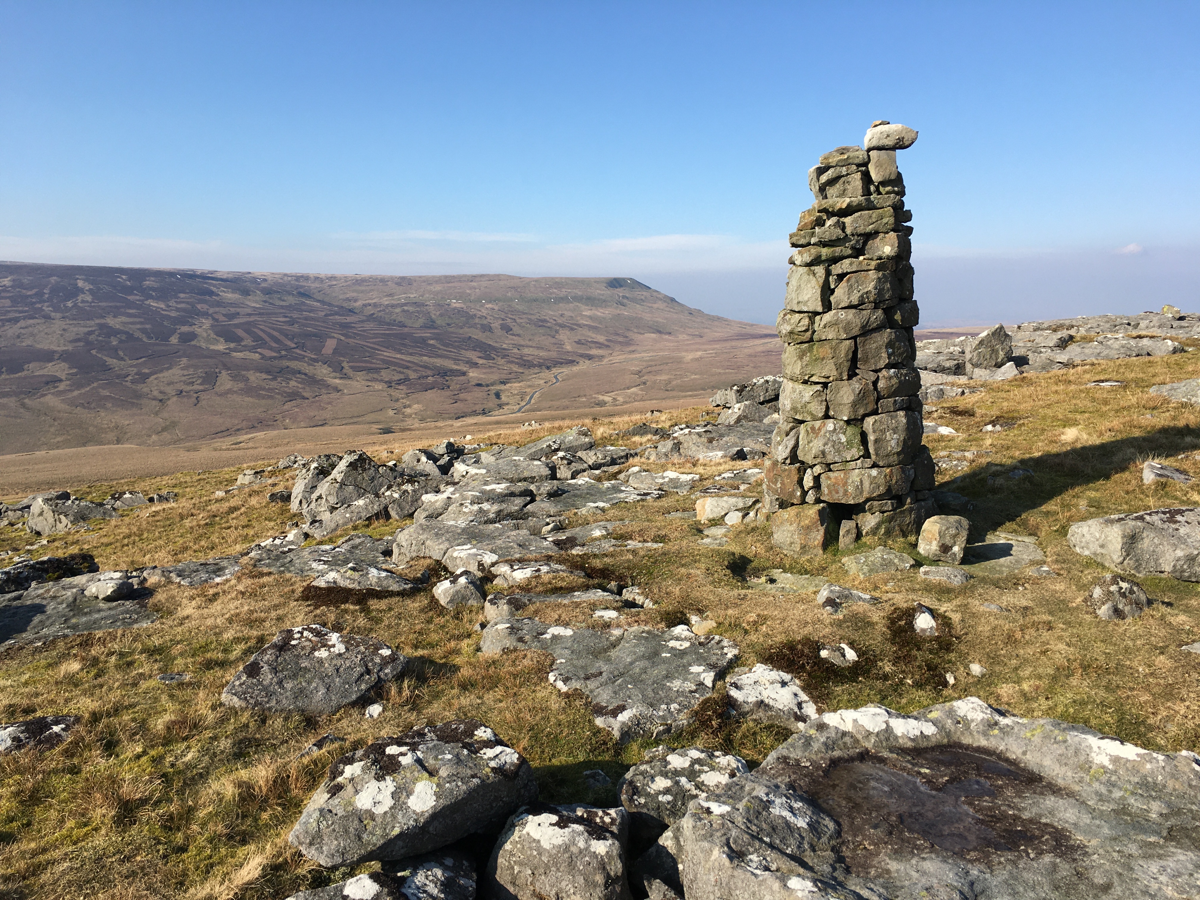
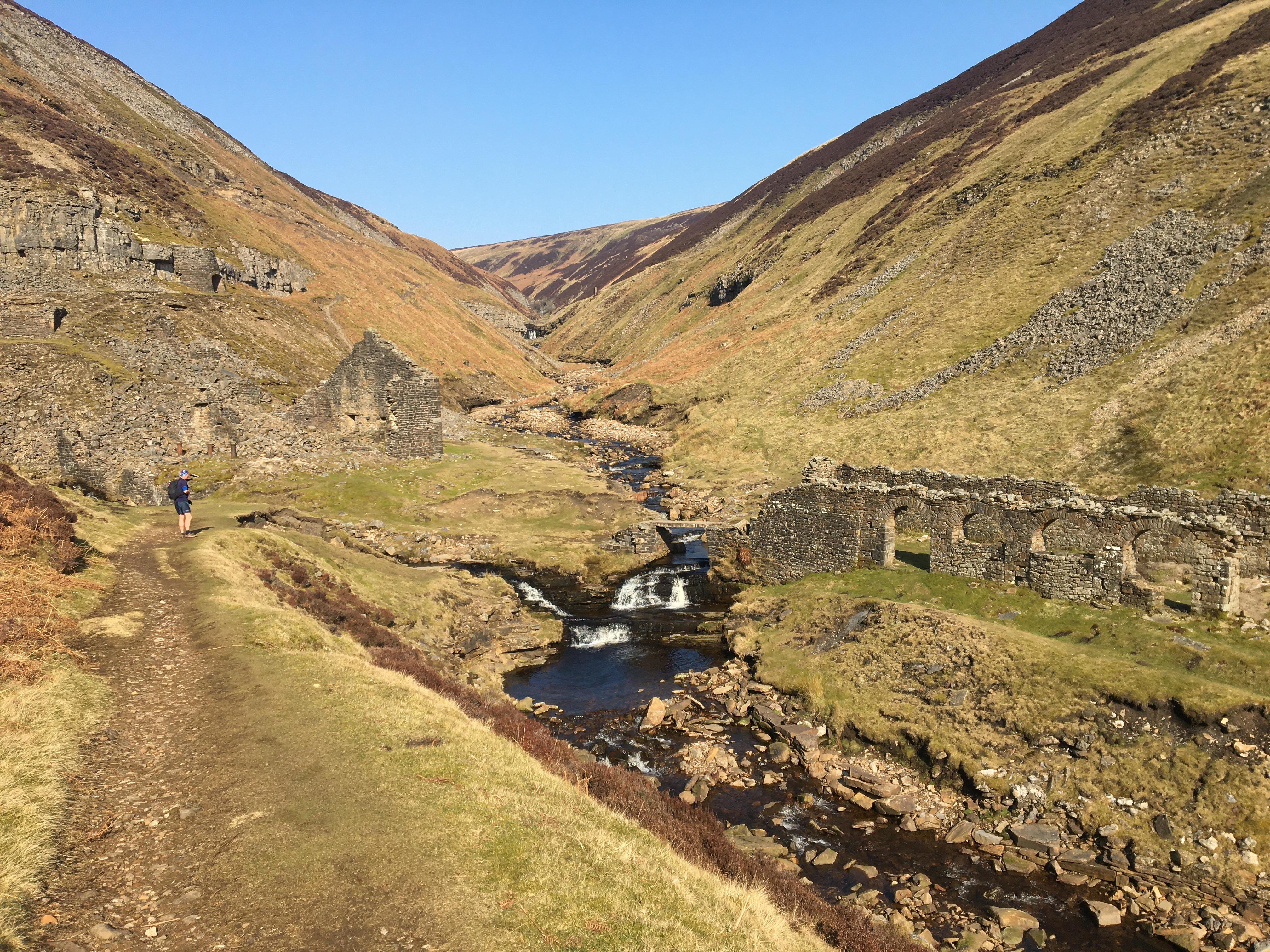
We soon pulled away and headed round Ravenseat farm. New paving slabs meant it wasn’t muddy but were hard on the feet! We took the path above Keld and on into Swaledale. We climbed up towards the mining area with signs a lot of the way but not always. Down briefly to Swinner Gill then a long climb up and over before we were heading down to Gunnerside Gill and back along the other side. We turned sharp left at the sign to Surrender Bridge and rose steeply up. We were starting to turn too much to the north so headed back towards the faint junction to keep us easterly. Over the top it wasn’t always clear but cairns guided us to old mine working area and the track back down the valley. So good to run albeit slowly down the hill.
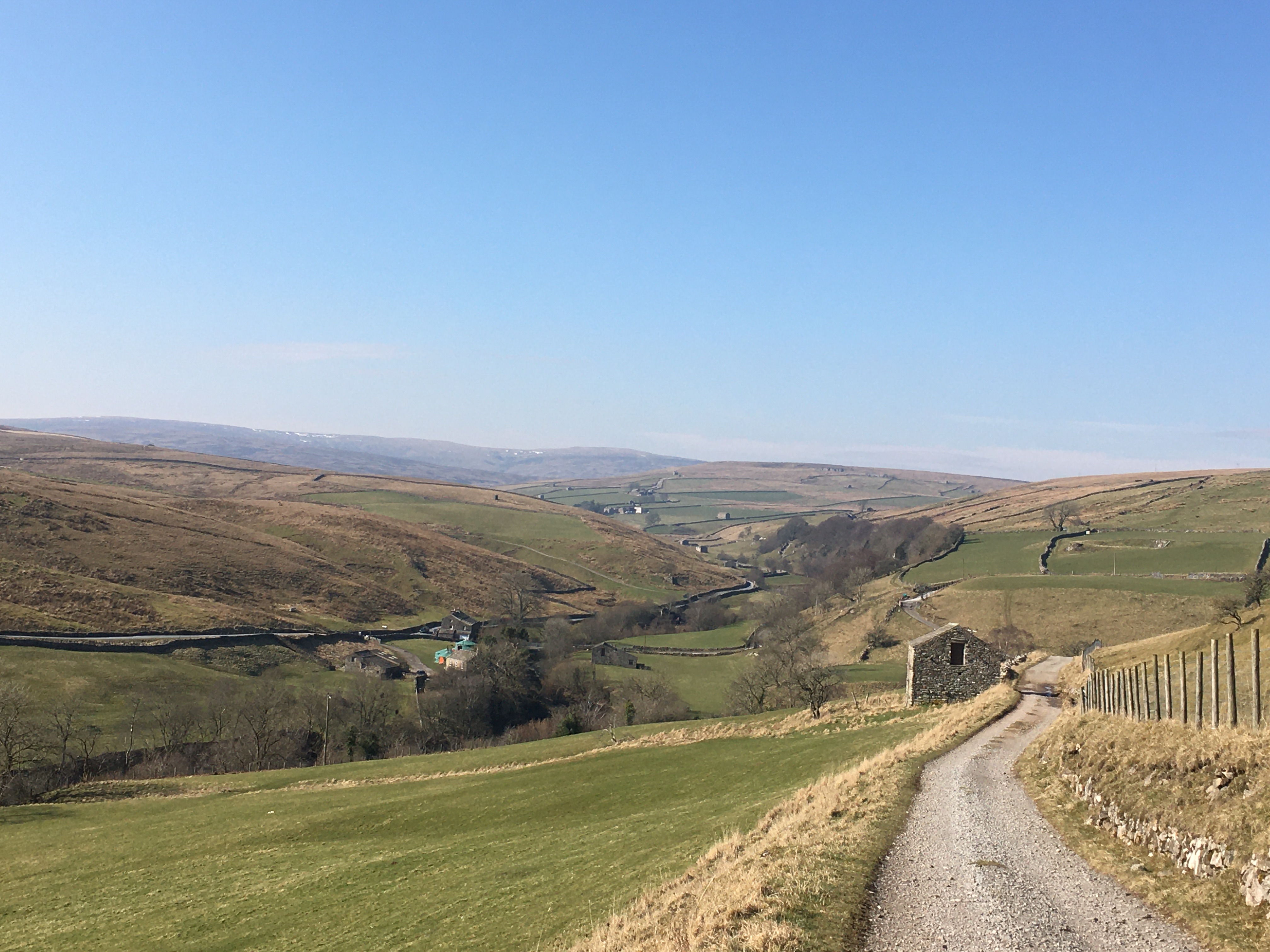
Mostly the tracks we took were down hill but at the 2nd bridge it was across. A little further on there were signs and we were tempted by the downhill track which we were on but my gut instinct was to head up hill on the side track to a house. We only had a few miles to go from there with 2 slight rises. It was good running until we reached the last section that between walls and very rocky underfoot. Having kept my shoes dry for most of the day it was boggy here too! Finally we were on the road and into Reeth.
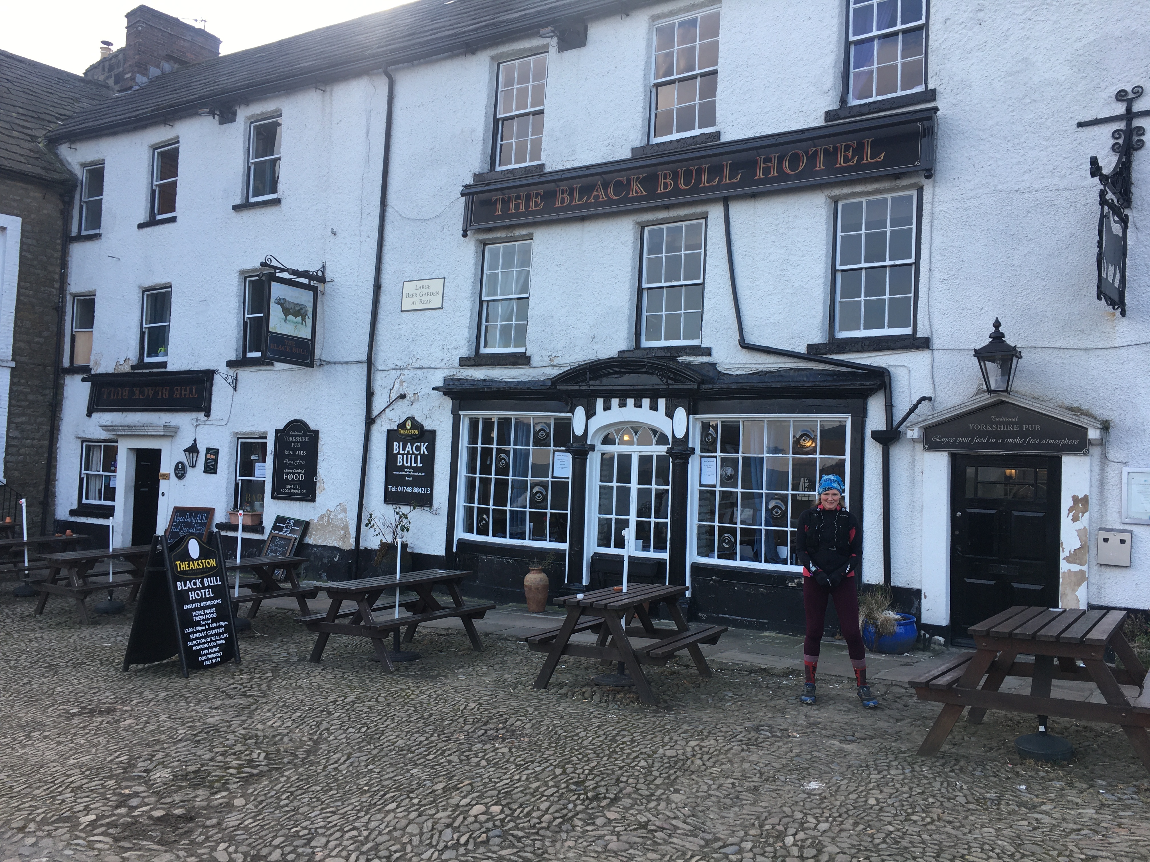
We’re staying at the Black Bull Inn again but no bath. My shoes are starting to come apart so we went in search of the outdoor shop that used to be near the pub but it doesn’t exist now. As we came back passing the tourist info Andy recognised a ranger he used to work with so they chatted.
We had drinks then Rupert arrived. We’d started to wonder how he got on. He followed our shoe prints as far as the turn to Surrender Bridge then headed down to Gunnerside. He’d enjoyed his day and is heading to Richmond tomorrow. It was lovely by the open fire but the table we sat on was booked for a group later but luckily Andy got us a table in the bar area rather than the restaurant. Bean chilli for me and sausage and mash for Andy.
We went back to the room quite early and watched a short film on walking the longest line in the UK that doesn’t cross a road. Then started to watch videos our friend John Kynastan made of his recces of the route.
We both look weather beaten today especially my blood shot eye!!
9th March. Reeth to Catterick Bridge, 17.80 miles in 5 hours 27 (127.58 total miles)
18 minute 25 average mile
545 m of ascent, 685m decent.
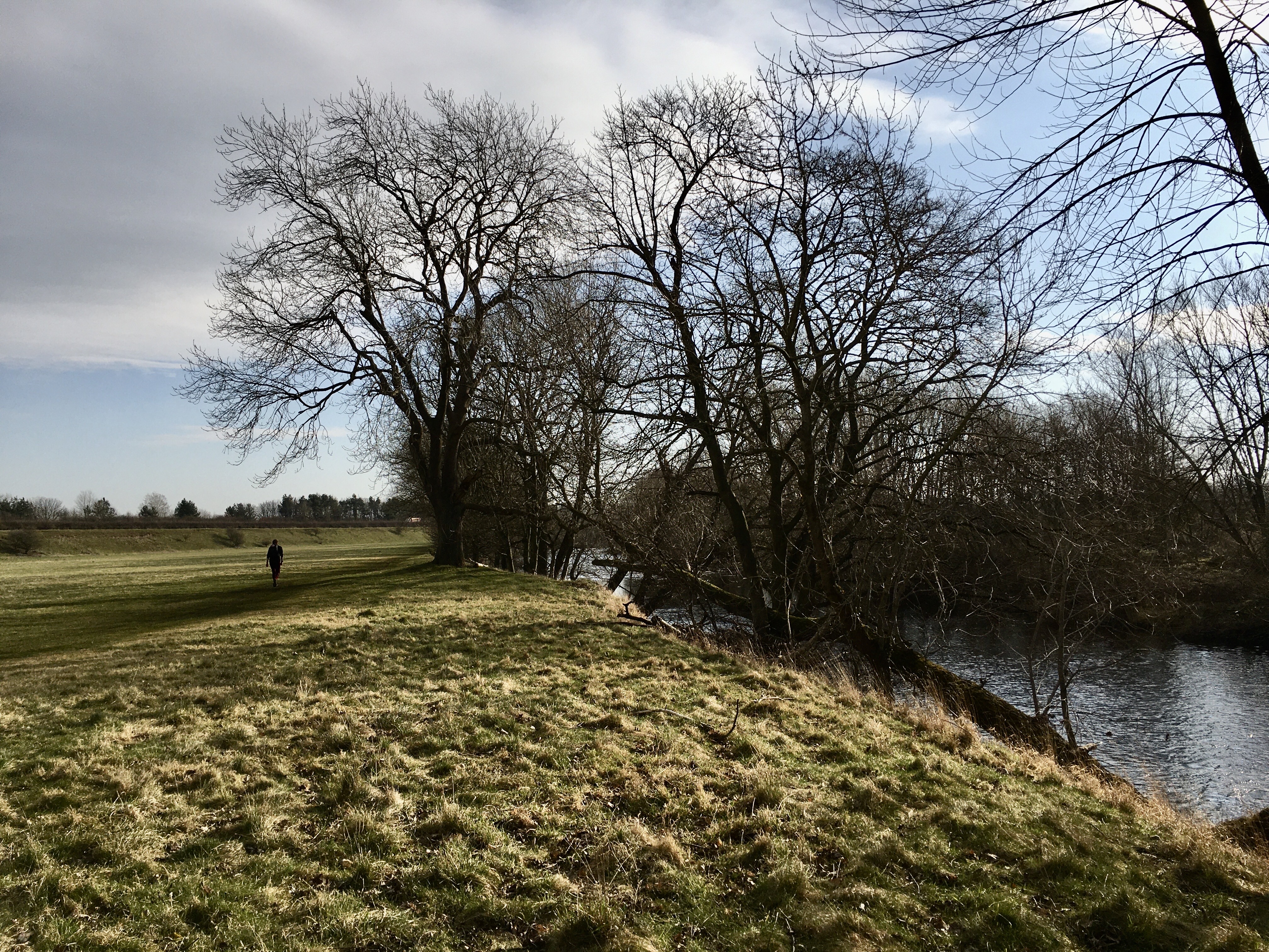
A lazy start but we were awake early. A big breakfast then on our way by 9:15. Another lovely start to the day, my long sleeve top was off quite quickly. Down the road over the river and off towards Marrick Pirory. Here we were off the road and up into the trees. This was our big climb of the day and by 3 miles we were coming down again through fields. We mixed between tracks and fields all day. Mostly signed but a few times the sign or stile was hidden behind hay bales or a vehicle so you had to keep an eye on where to go. Crossing one field on the obvious path we soon realised we should have headed straight across and down to the road!
I kept recognising sections but not always the details. It was nice heading towards the escarpment after Marske remembering camping there before. It was also just before Richmond.
In Richmond we noted the race route down to the river but side tracked into town to find a cafe. We’d completed 10 miles in 2.5 hours so planned a break knowing we had 5 more to do today. We past 2 cafes and headed to the main square before going back to Granny Kitchen down a side alley. Tea and a veg wrap for me, mocha and club sandwich for Andy.
Down steeply to the river and over the bridge. We followed the river a short distance to the road, again almost taking the obvious path instead of the race route! At the road we knew the checkpoint would be off the first side street but it was a steep up!
A short section on the road then off down a track. I miss recognised the obvious track off to the side thinking straight ahead took us to a quarry or some kind of official works. Our path was next to the gate and followed its fence line, luckily we didn’t go up hill for long before we realised.
After a short road section through Colburn Hill we were across fields and I remembered we got a bit stuck last time. This time we reached the fence and I was convinced we needed to stay in the field and not go through it, our GPS route took us across the field but there was a barbed wire fence in our way. We went back to the gate, looking back on my route from before this is what we did then!
We headed steeply down the side of the A1 and under it towards Catterick Bridge. Our foot bridge was just past here. The Farmers Inn was just down the road so we were delighted to arrive on our short day.
No bath so we watched some more of John Kynastan’s video of the route before heading to the bar. We’d been warned the races are on in Catterick but it’s hard to know if they will get busy or not! We have a continental breakfast ready for us in the room. I asked at the bar if I could have just cheese as there was a plate of cheese slices with meat on top. They were happy to do this which means extra food for us!
Interesting for choices for tea not just your usual pub classics. I had little pancakes with various sauces. The pub filled up. We headed back to our room to listen to a podcast then watched Flatliners. I was worried I wouldn’t sleep as we were on above the pub entrance and next to a busy road but even with the window open I slept!
10th March. Catterick Bridge to Osmotherley, 20.49 miles in 5 hours 25. (148.07 total miles)
15 minute 53 average mile
381 m of ascent, 261m decent.
Funny eating our breakfast in the room as we got up. One croissant each plus quite a bit of cheese for me. We spilt the cornflakes and weetabix between us.
We were on the road by 8:45. Another sunny day and forecast to be warm so I didn’t start with my usual 3 layers, this meant my bag felt heavy as the extra top was in the bag not round my hips where I usually move it to. We followed the river initially then a little bit of road before some lakes. After Bolton on Swale, a couple more fields then at 3 miles we were off the coast to coast and hit the road for 6 miles. Seems strange but I presume it’s boggy bits that perhaps the farmers don’t like so many runners going through. John Kynastan’s recce went the other way. The road rolled gently so we were able to maintain an excellent pace at just under 4 miles an hour.
We reached Danby Wiske and knew we had a mile still to go on the road then we were on the field edges with a few farm roads. There were a few patches of mud but mostly it was good going. We passed the end of the section we’d recced last time and continued on across the fields. It was mostly easy to follow with a lot of signs but you couldn’t always see them and it wasn’t always obvious.
Over the main railway line and the A19 which we got lucky in crossing. We’d planned a stop at The Joiners cafe in Ingleby Cross where I’d stopped with Kipper and Kate when we joined her for half a day when she walked the coast to coast. Amazing menu hard to choose! I wasn’t hungry and had planned just a drink but went for eggs florentine and chai latte, really nice. Andy had turmeric latte. We were only 2.75 miles from Osmotherly but as we were making such good progress it made sense to have an hour there. I had been a little concerned as a breeze was picking up as we approached the cafe but the sun was out nice and warm as we left!
Over the A172 and our first real climb of the day. Gently up the winding path, we turned too early to head to the junction with the Cleveland Way so had to go back down a little. On race day we’ll stay on the Cleveland Way now all the way to Bloworth Crossing but today we went over the fields and into Osmotherley ignoring the altered Cleveland Way route that takes people via the lady chapel just before the track to the village.
Through Osmotherly centre turn right by the pubs and we were just down the road a short way. Andy found the key safe and Harriet the owner appeared to welcome us. A nice little en-suite side annex to their house. No bath though.
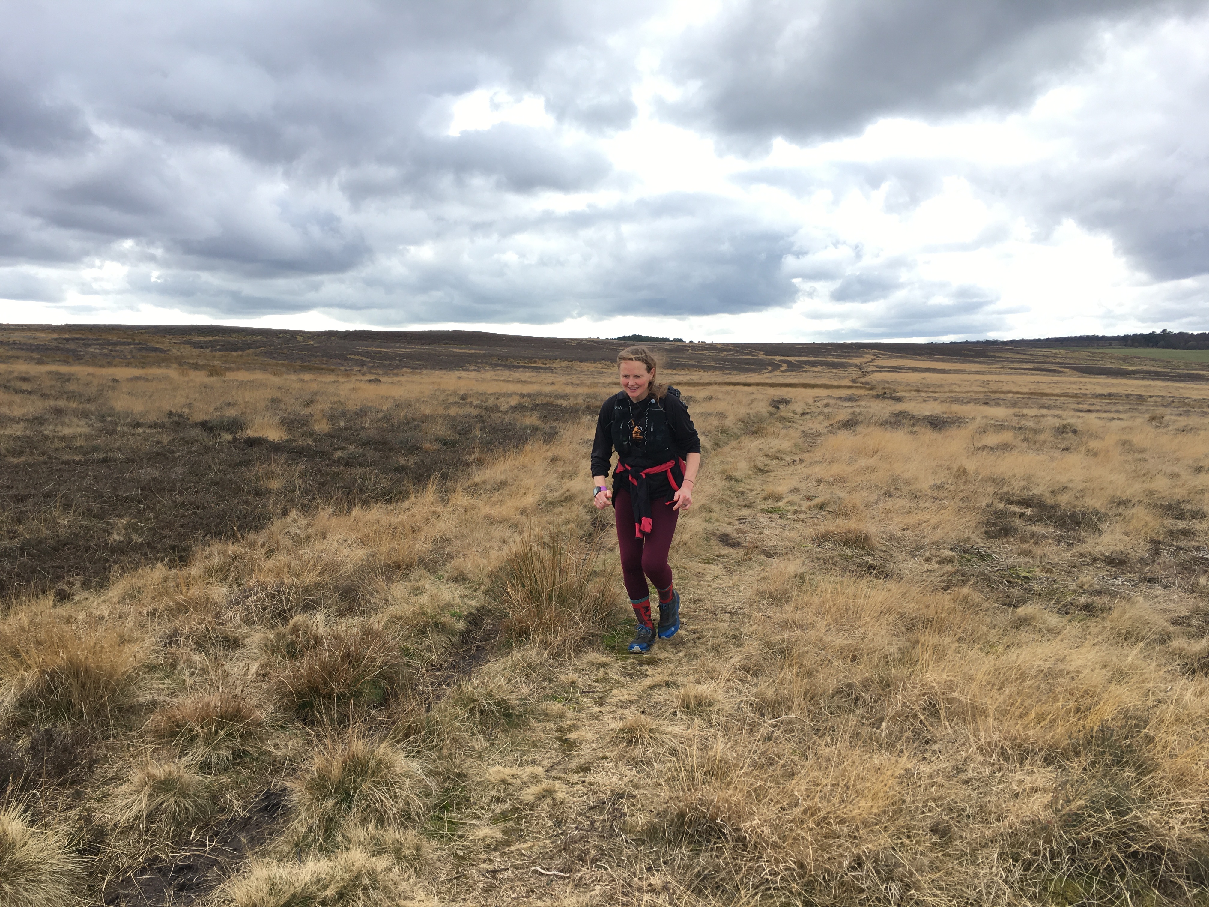
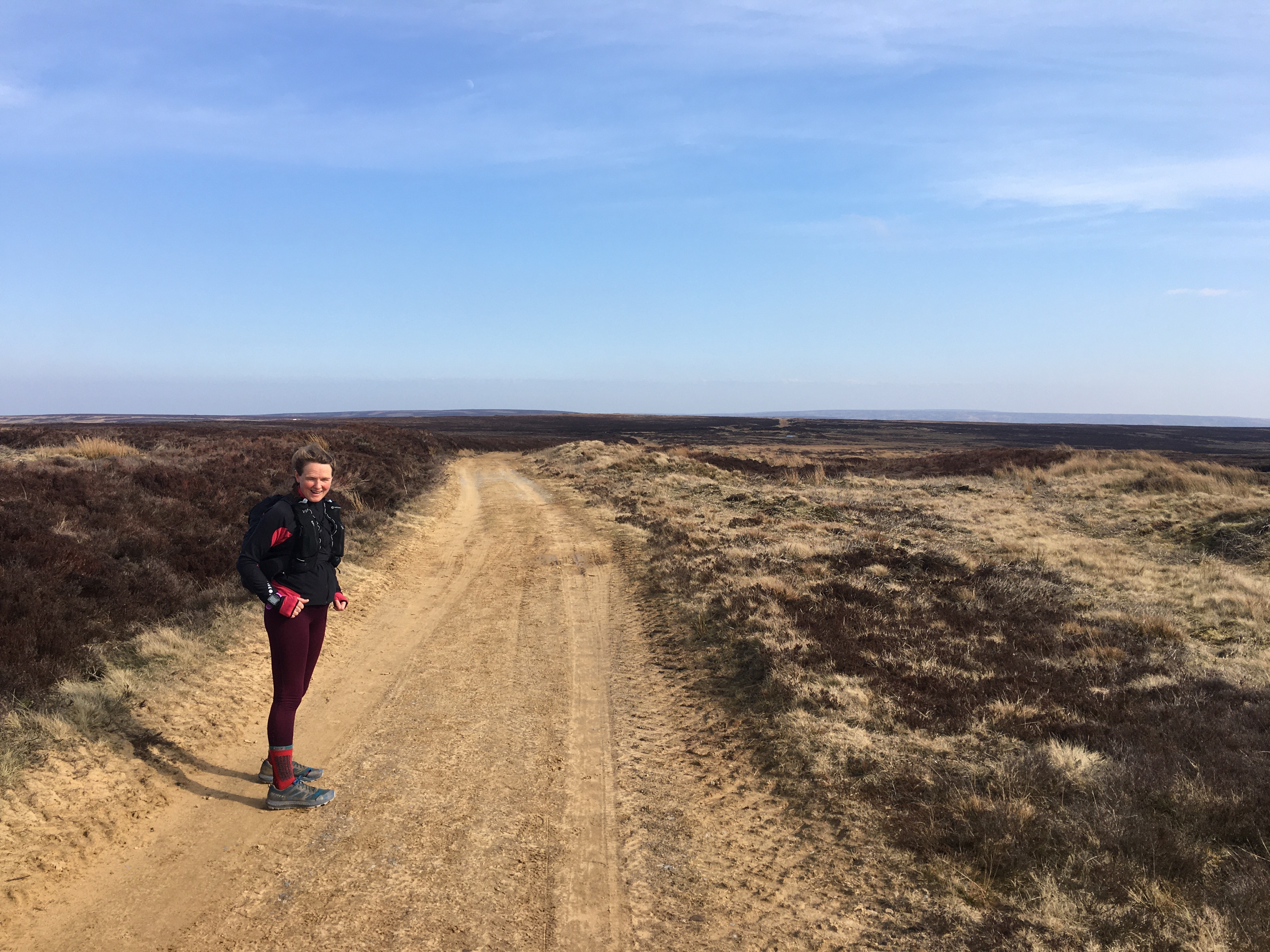
11th March. Osmotherley to Farndale, 20.07 miles 5 hours 50. (168.14 total miles)
17 minute 30 average mile
1283 m of ascent, 1274m decent.
We left by 8:10. Again breakfast in the room porridge pots, cereal and Andy kindly took the pan au chocolat to help reduce my temptation.
We’d decided not to retrace our steps and follow the race route from where we left it as we know that section so well. Instead we followed the road up past the YHA and on to Cod Beck reservoir luckily there was a path alongside it which was nicer under foot than the tarmac. The sun shone for us again but it wasn’t quite as warm as yesterday. We know this section all the way to Blakey Ridge really well from other events. The climbs felt tamer than usual after what we’ve done in the lakes. We made good progress initially but were slowed by the ‘sisters of Steele’.
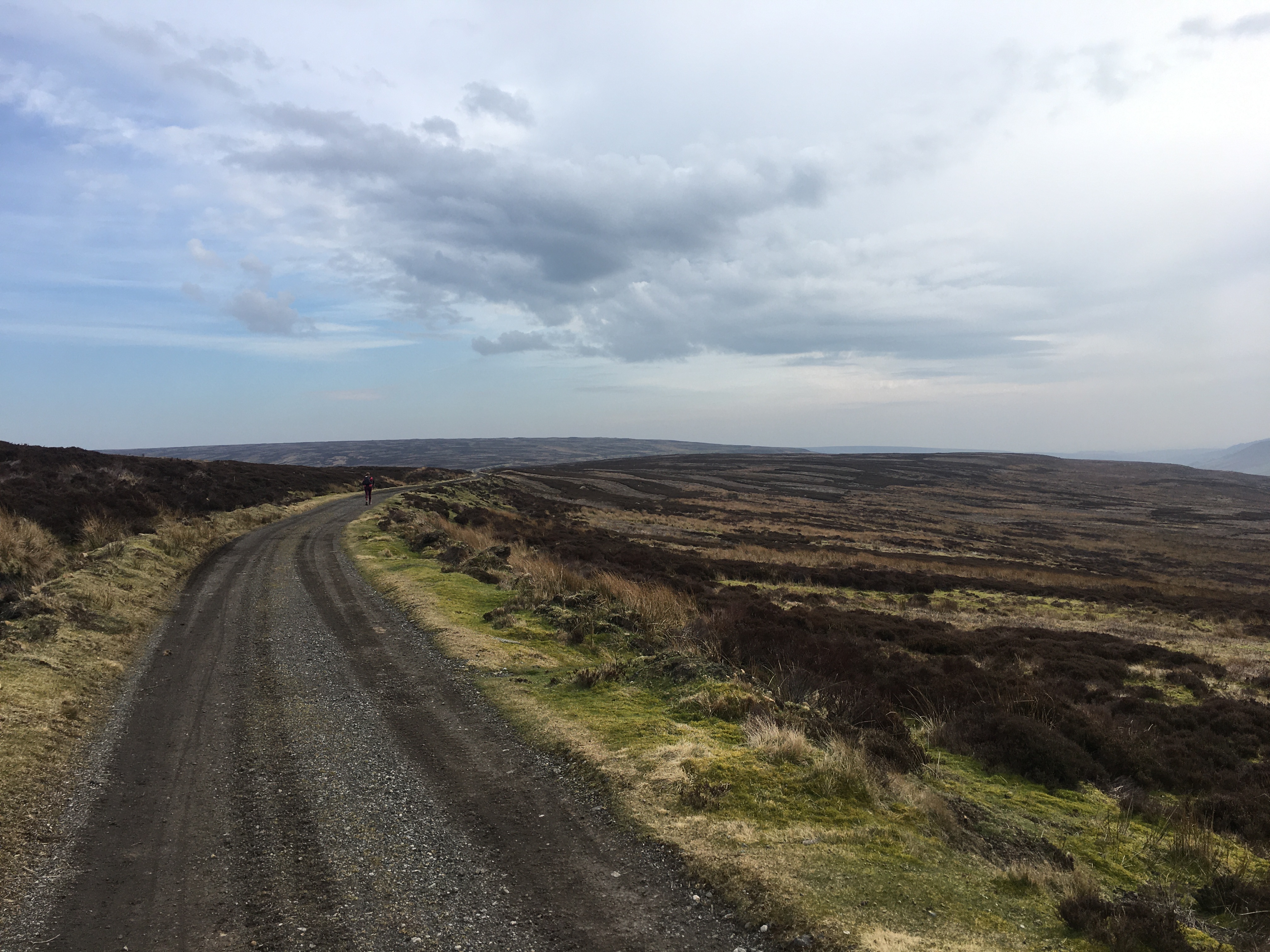
I was amazed when we got to Bloworth Crossing that we’d done 14 miles but there were still 6 miles to go on the old railway line. Just before here some ladies advised us there was an adder sunning it’s self in the sun but we didn’t see it.
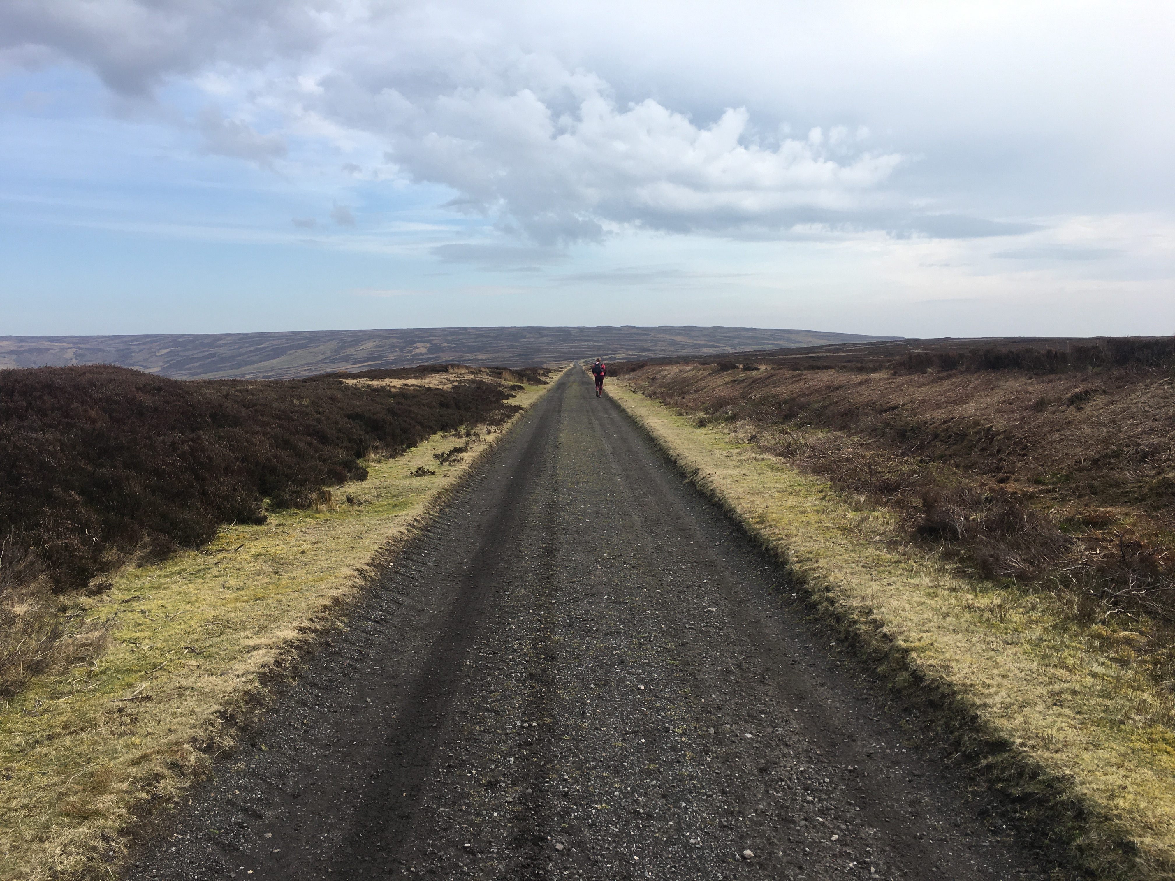
We made steady progress along the old railway line as although it is essentially flat it did undulate slightly. We knew we wouldn’t make the Feversham Arms in time for 2pm when they close so the plan was to get to the Lion Inn on Blakey Ridge which the race goes past. To continue to our pub we just keep going south on the old railway line for an extra mile. Andy chatted to a dog walker who thought we would make it if we took one if the side tracks down into Farndale. Andy checked and thought we could do it so rang the pub and said we should be there by 2 but might be a few minutes late. That was the fastest I ran all day on the railway track despite the strong wind trying to hold me back. I thought even if I didn’t get lucky with a bath in the room it would be nicer to sit with our legs up on the bed than in a pub with our legs getting stiff, swollen and sore waiting until the 6pm opening time.
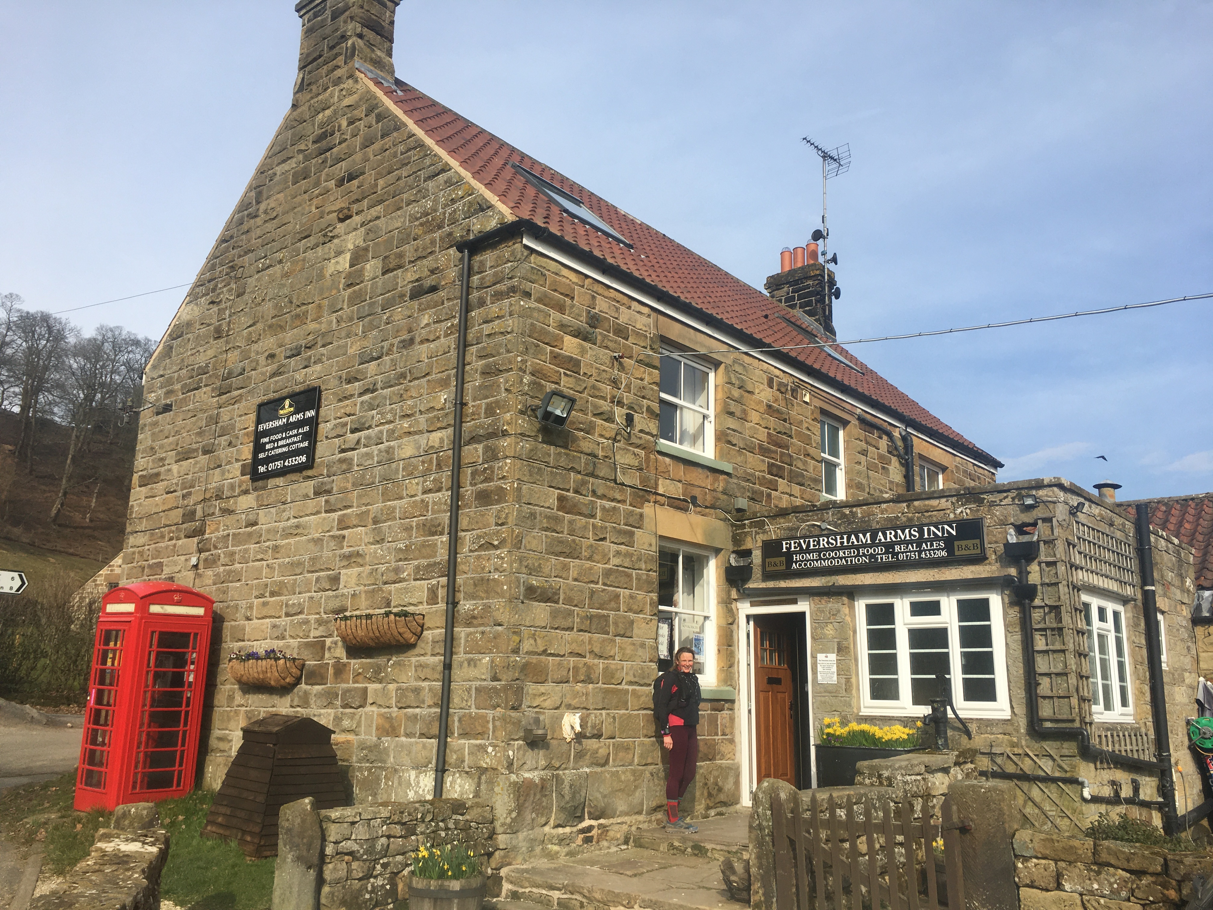
The path off the ridge was grassy but easy to follow. A few boggy bits and we soon on the road for the final 2 miles to our pub. The road undulated quite a bit but we ran up some of the climbs. It was just after 2 when we arrived. There were people eating and drinking in the pub so at least we knew staff would be around for a bit. We had to go behind the bar to get to our room sadly no bath. We had a drink at the bar before showering and relaxing.
The food was the most disappointing all week for me, I chose something off the vegan menu but it was cold and a small portion, it was tasty. Rachel the owner was happy to make me a cheese board for me.
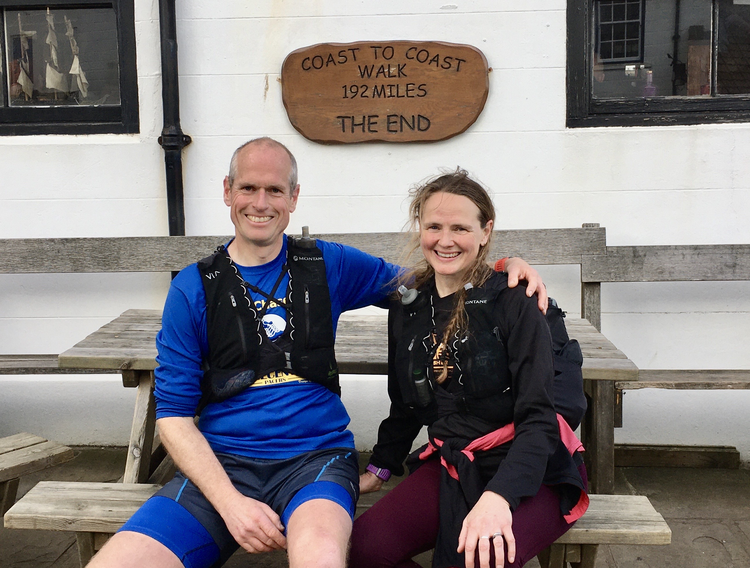
12th March. Farndale to Robin Hoods Bay, 25.91 miles in 6 hours 25. (194.11 total miles)
14 minute 53 average mile
802 m of ascent, 1249m decent.
Up at 7, full cooked breakfast at 8, paid and we’re in the car by 8:30. Rachel’s husband Allen took us up past the Lion Inn to the junction with the last bit of road. This saved us 3 miles of road from the Lion Inn pub.
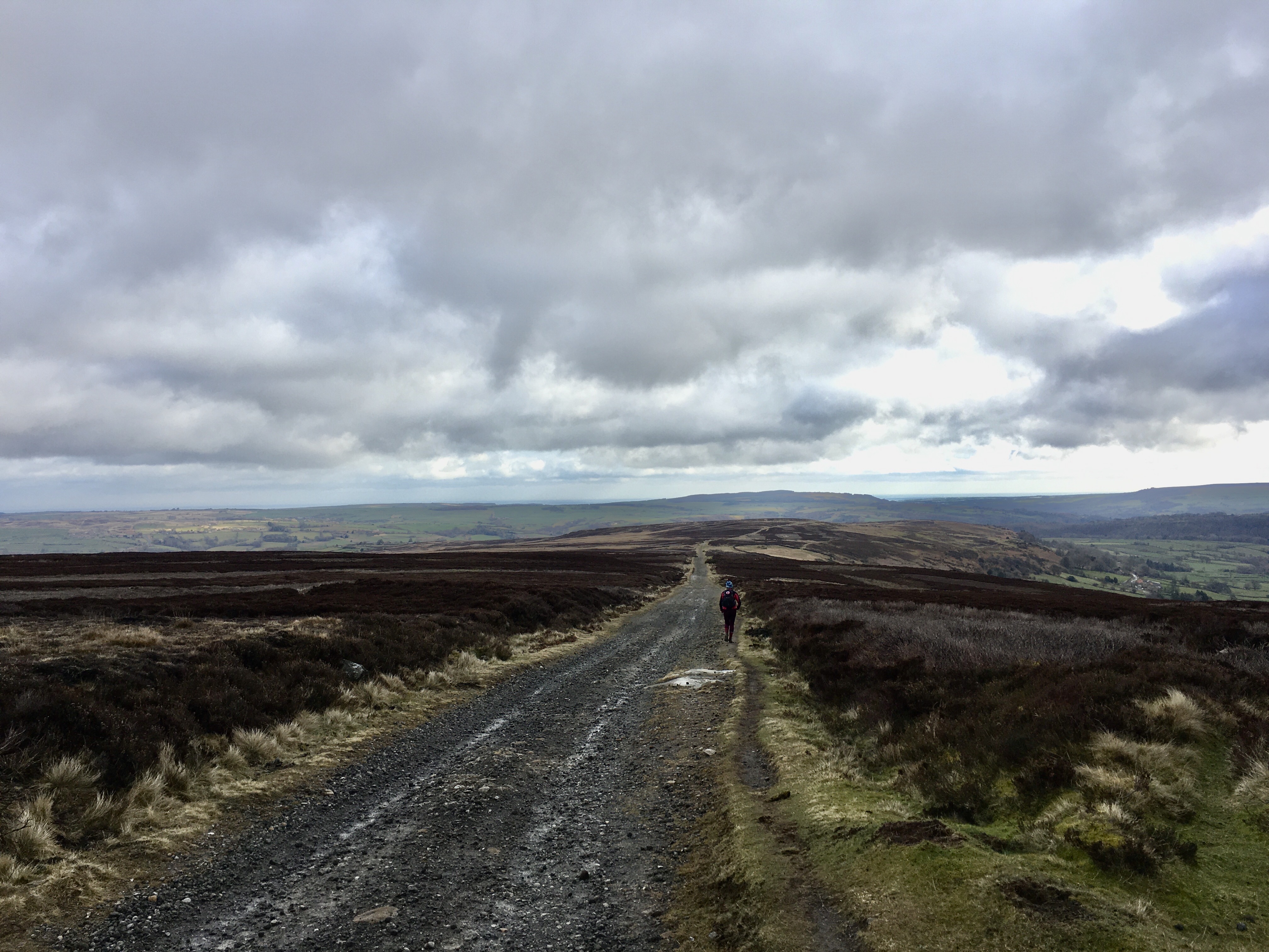
Half a mile on the single track road then we were off it and on a good track heading down hill. Where it was rocky there was usually a soft grassy section at the side to ease our sore feet.
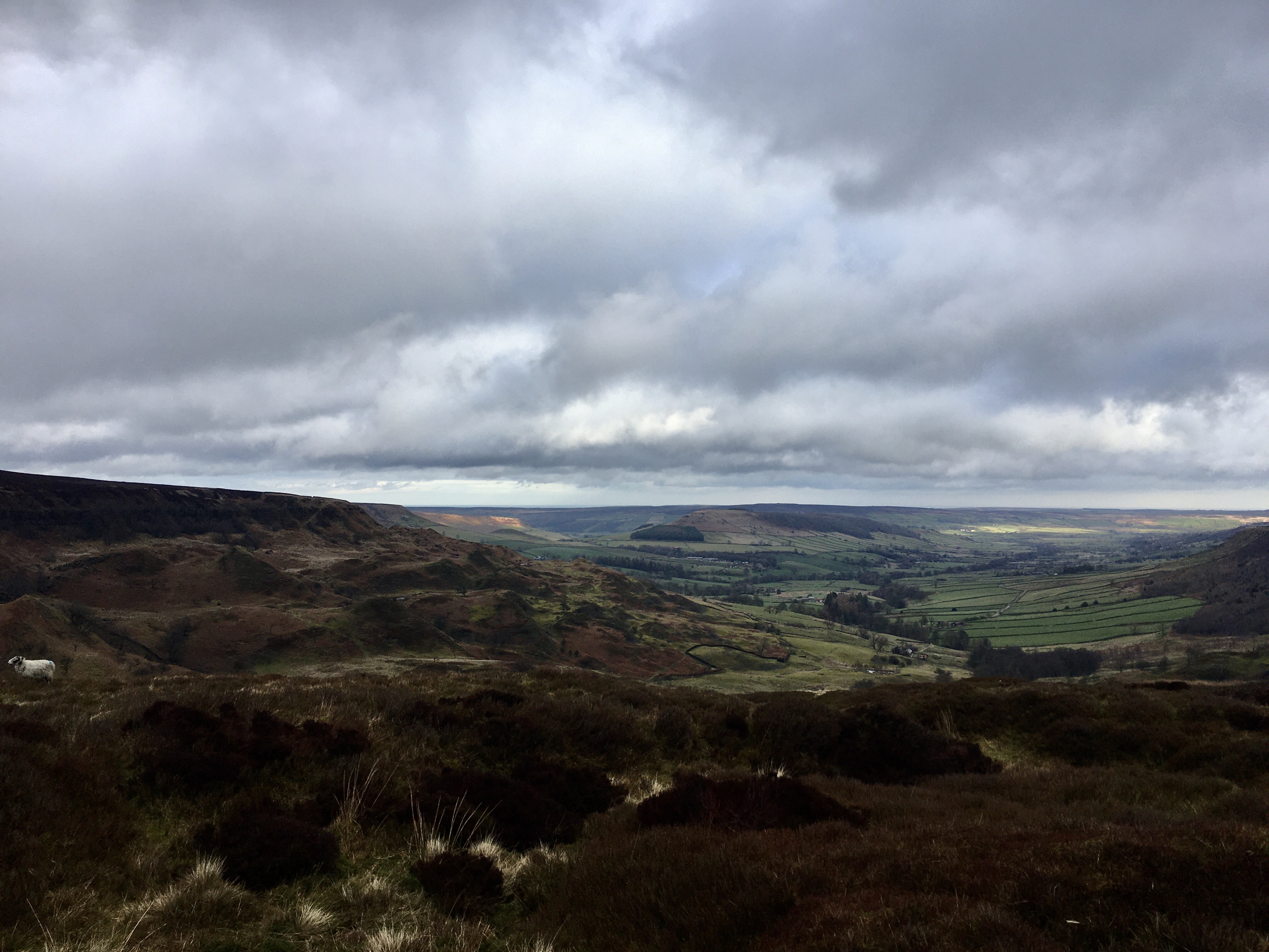
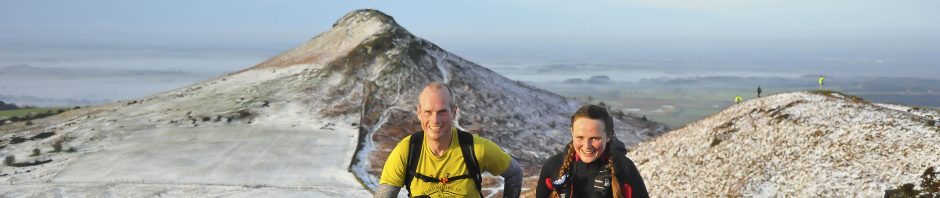
Rain had fallen all night but stopped as we left the pub, on the drive up low mists surrounded us but as we started down the track the clouds started to lift and we had great views down to Great Fryup Dale. Across the moors we could see Roseberry Topping, a ray of sunlight slipped through the clouds but was eaten up before it reached the Topping which also melted into the low clouds. Luckily the clouds were lifting ahead of us.
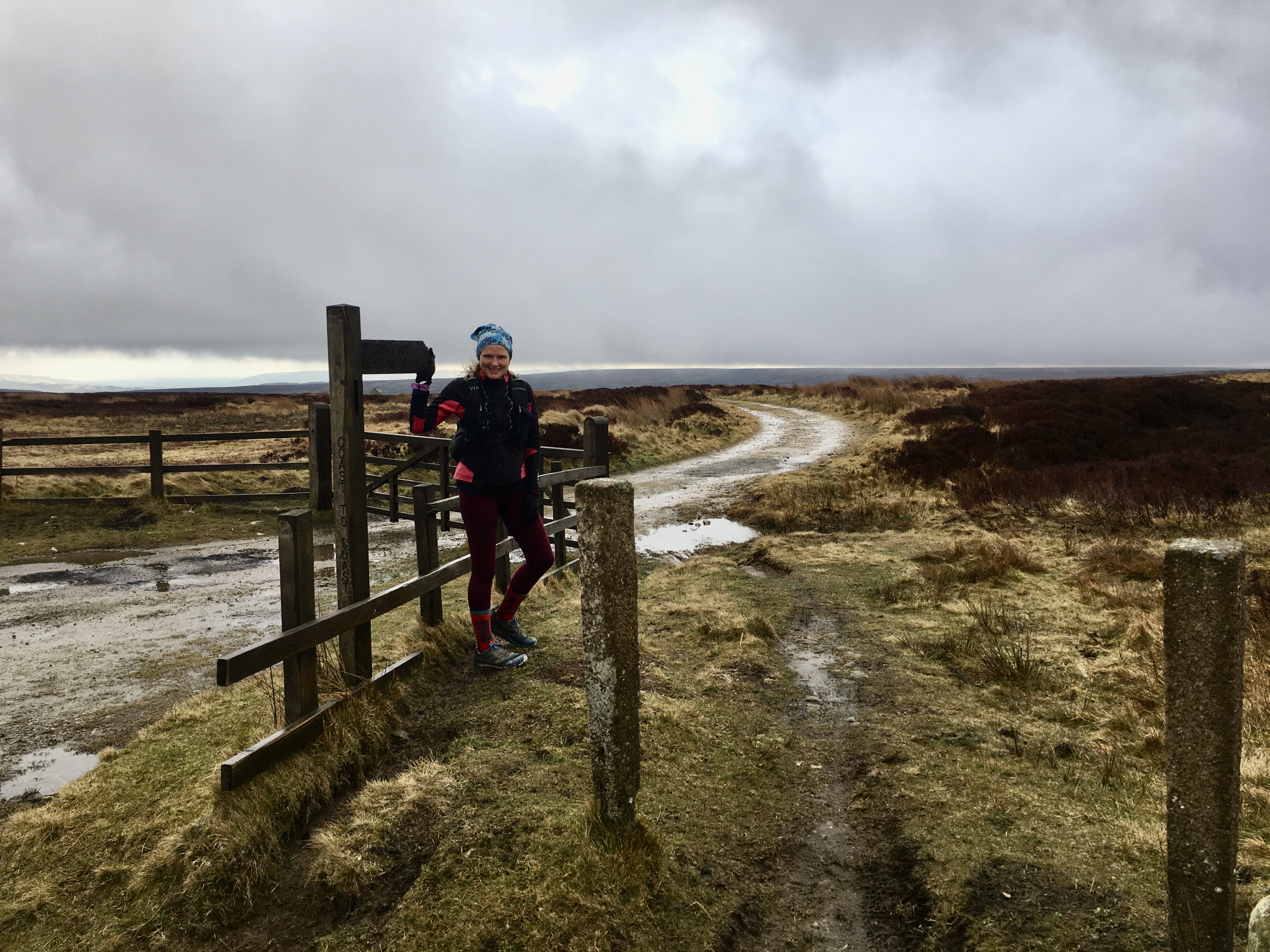
The track led to a road for a short section then off that and onto a good track all the way to Glaisdale. 6 miles done in just over an hour! We wove through the village steeply to the station and were onto the last recce we did before covid lock downs began.
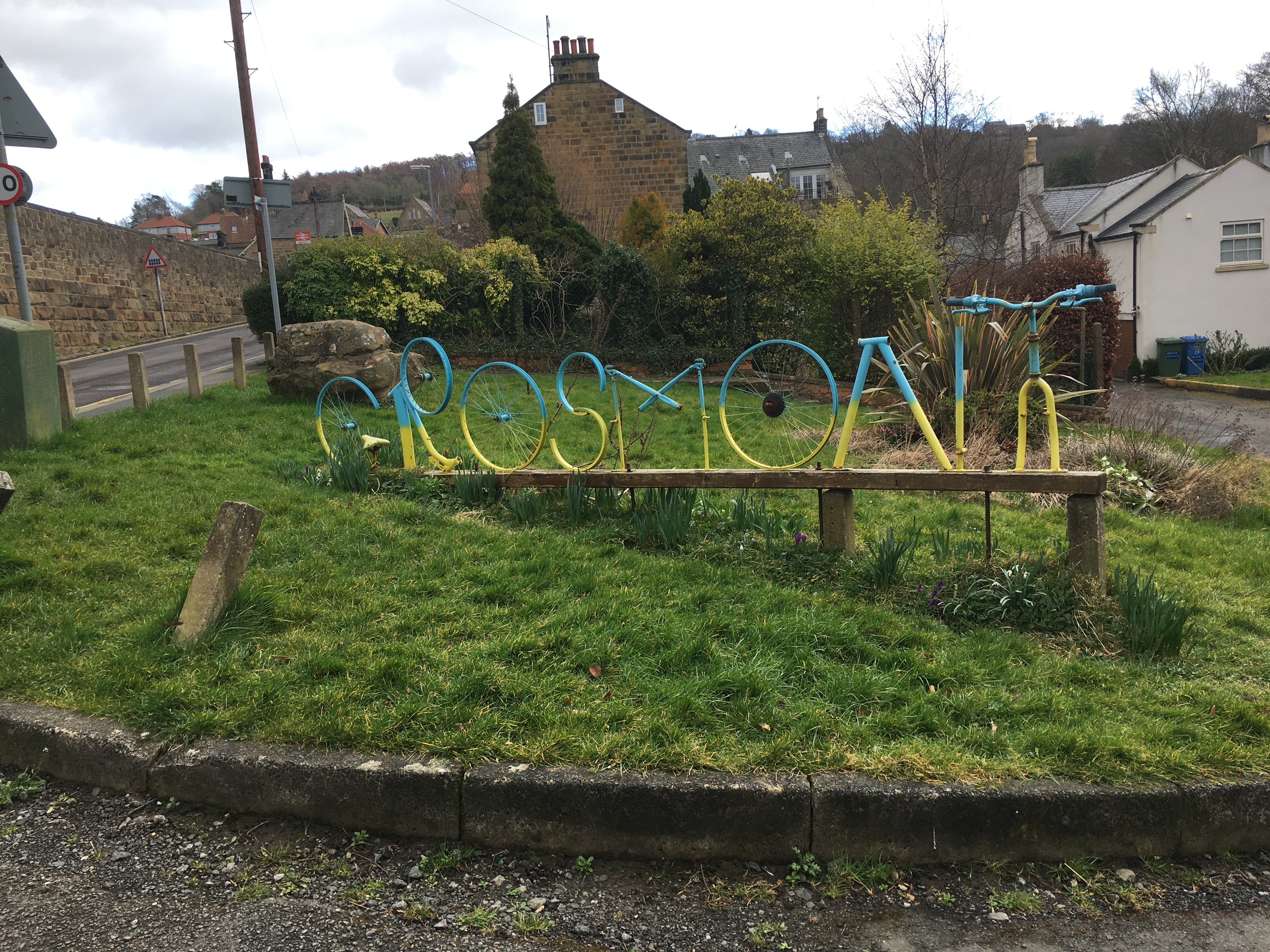
It was warm so off came my long-sleeved windproof as we headed under the trees and onto a boggy path following the river to Egton Bridge. Short section on the road then onto the old Toll road to Grosmont. We were still averaging under 4 miles an hour even on the flatish valley floor but knew we had a 2 mile hill to climb after Grosmont, all on the road. We seemed to get into a good pace going up the hill and were soon on the moor. Our route cut off a section of road across the moorland to rejoin the road for a short section before a good track down to Littlebeck
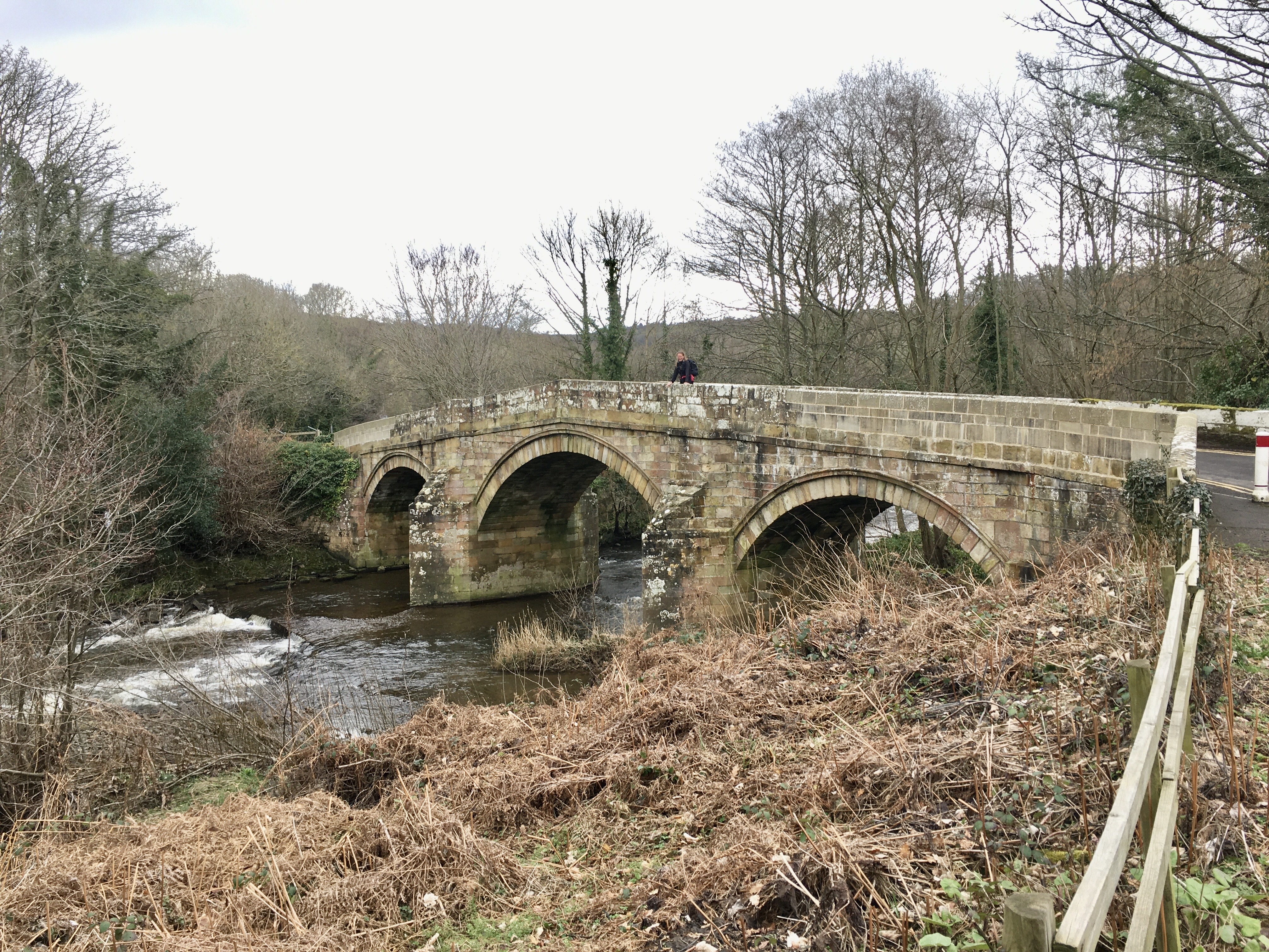
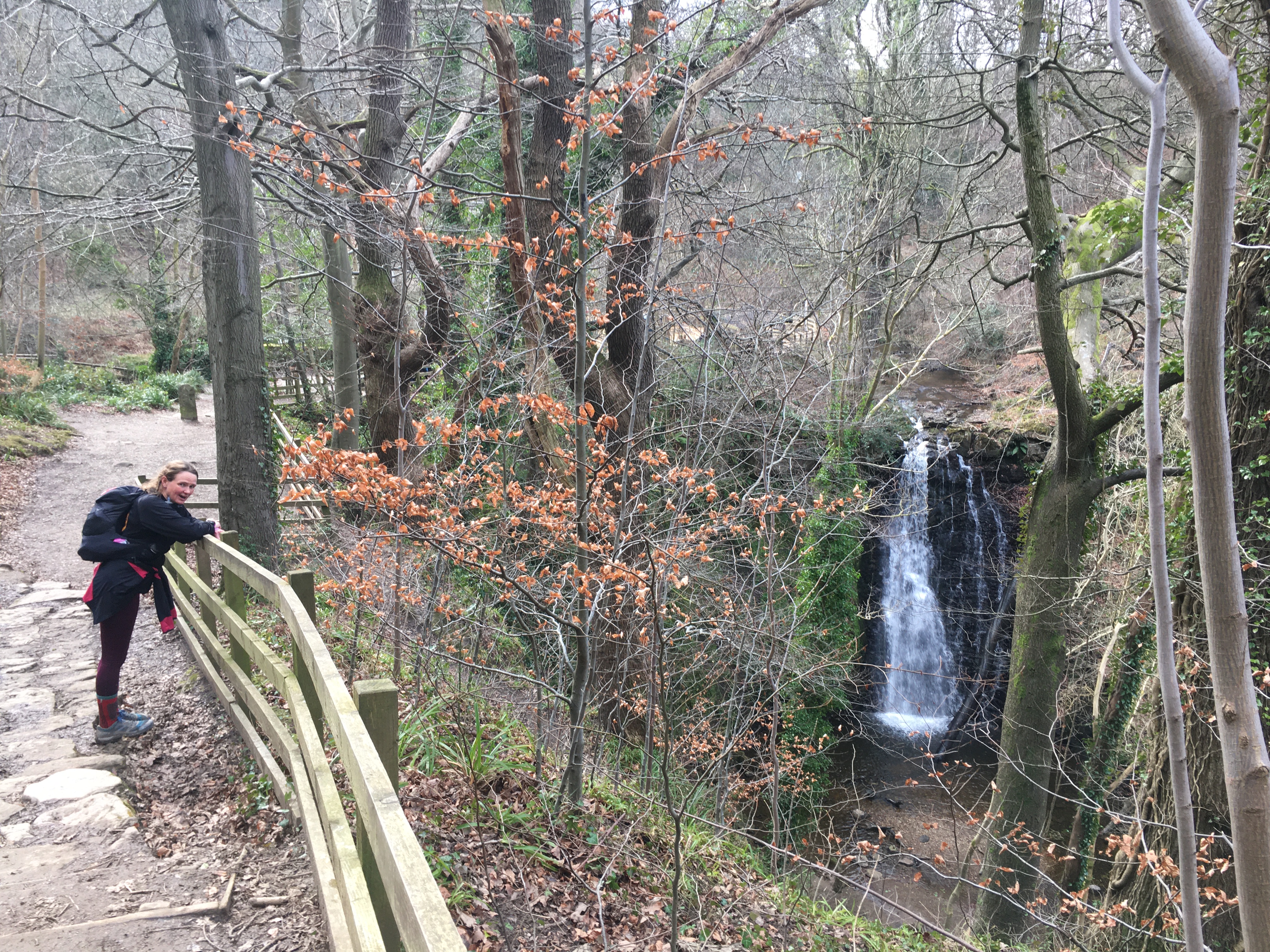
From here we were in the woods again on an undulating track following the river. The path was easy to follow and it was only the signpost suggesting Falling Foss or Car Park that was confusing as neither said coast to coast but on Johns recce they’d gone straight ahead instead of down to the waterfall so that was easy to ensure we did it right. Just past the waterfall is the bridge with the troll underneath. Over this and the road bridge and a bit more muddy riverside path before our final big road climb of the day. A farmer offered me a lift just before we turned off the road. Then the bog began! I’d been starting to think I’d get away with dry feet but not now. The cool boggy water was lovely as it seeped into my shoes each time.
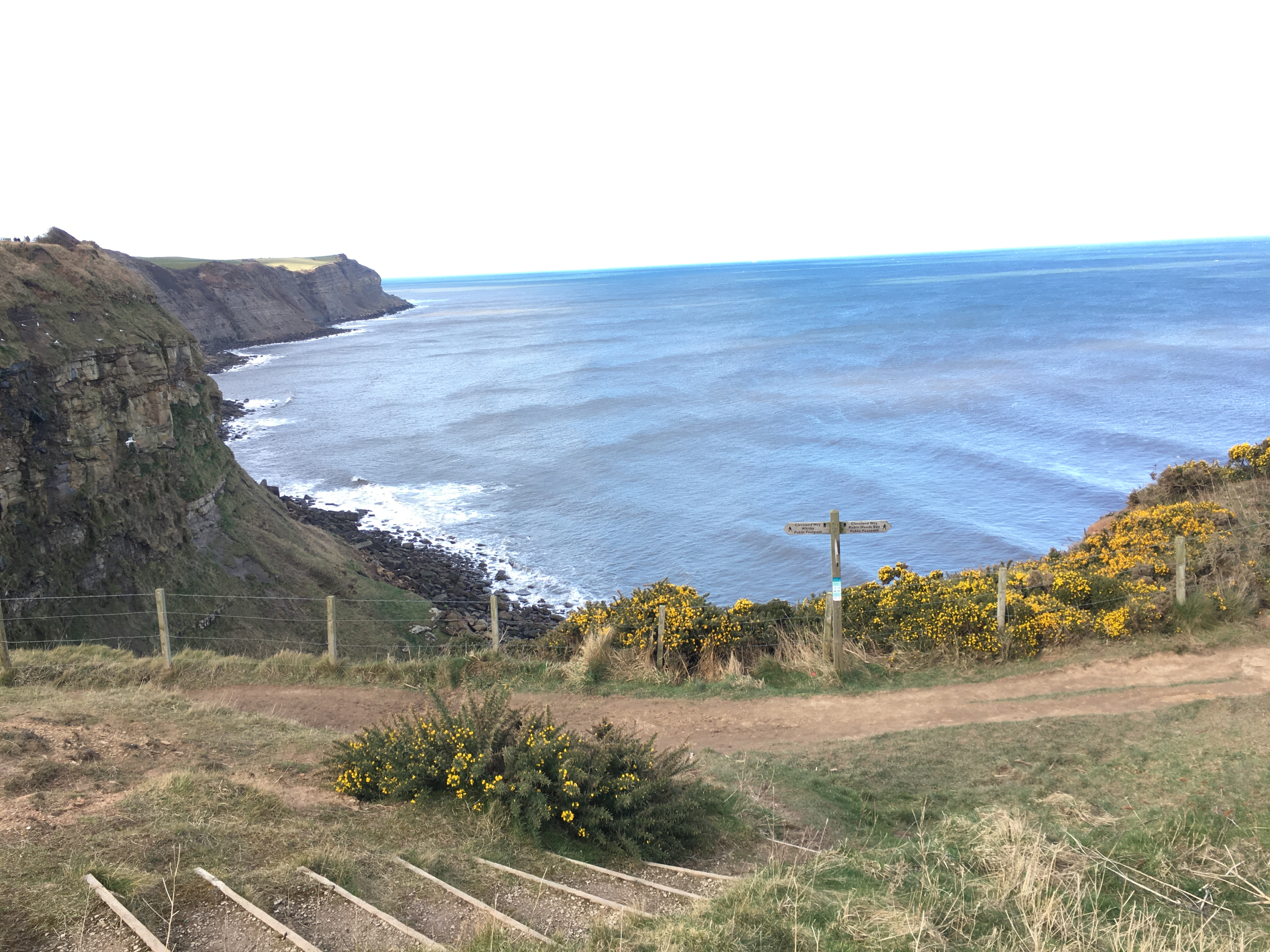
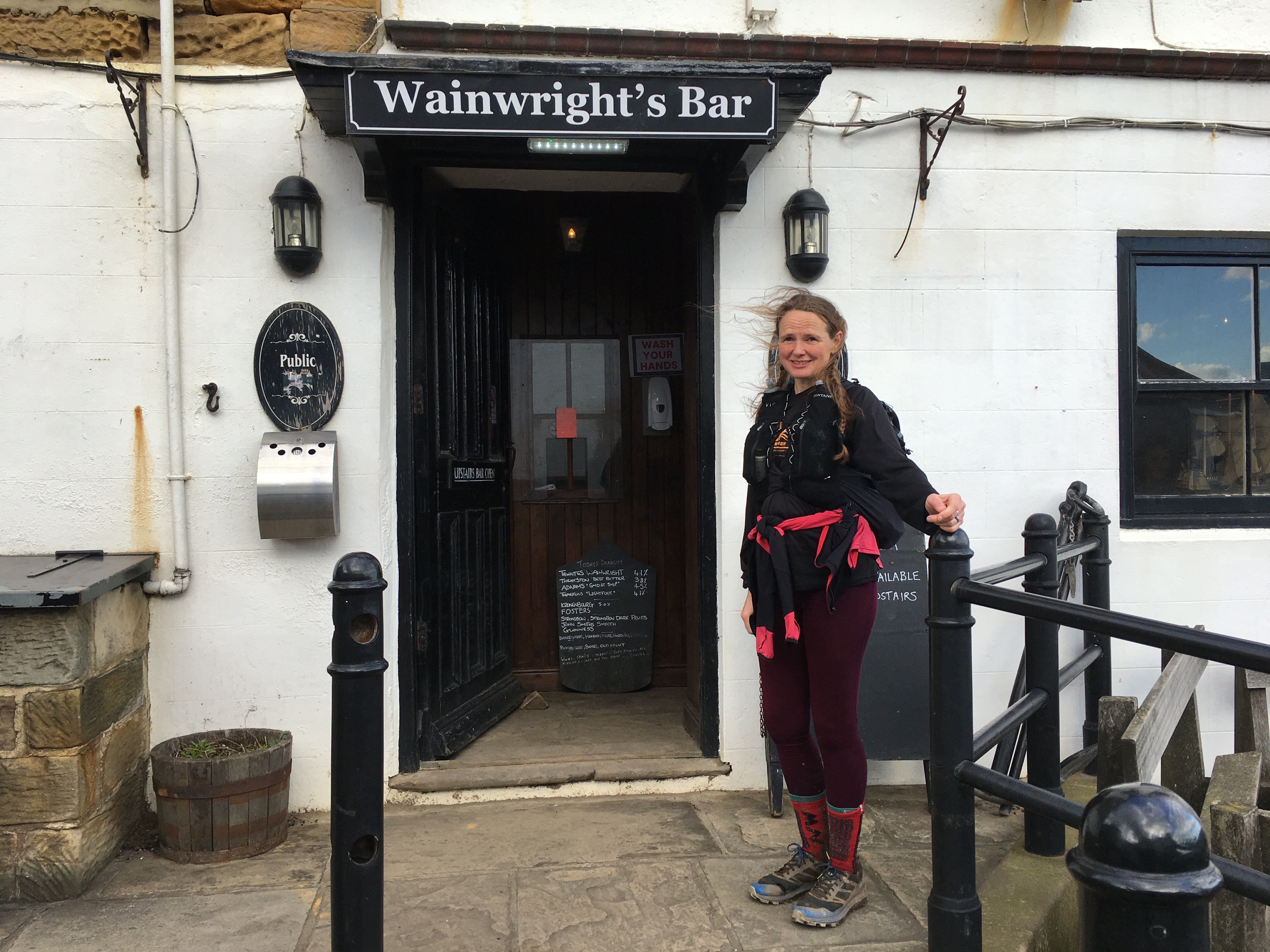
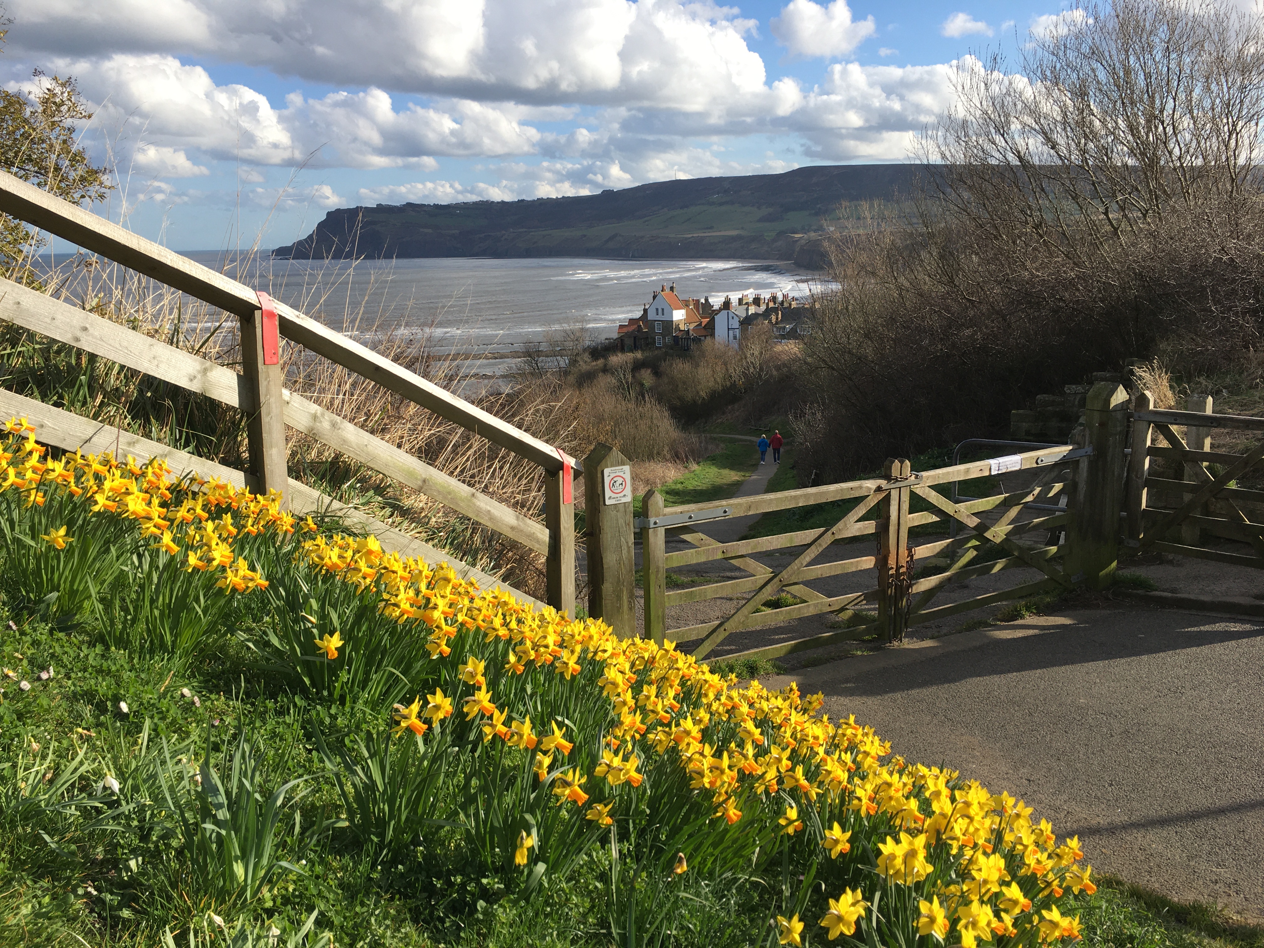
The path isn’t as clear here and even our GPS route was different but we managed to get easily from bog to bog before the last few miles into Hawsker. We crossed the main road then headed by road to the caravan park and down to the coastal path. We were back on The Cleveland Way for 3 miles to Robin Hoods Bay. We had thought of taking the Cinder Track which meant we could have caught an earlier bus but decided to do the full last section. We arrived in Robin Hoods Bay just after the bus so headed down to the official end of the coast to coast by the sea. 192 miles completed.
We went in search of drinks and the bus stop and ended up in the Victoria Hotel very close to Thorpe Lane bus stop. We had time to get changed into dry, less smelly clothes.
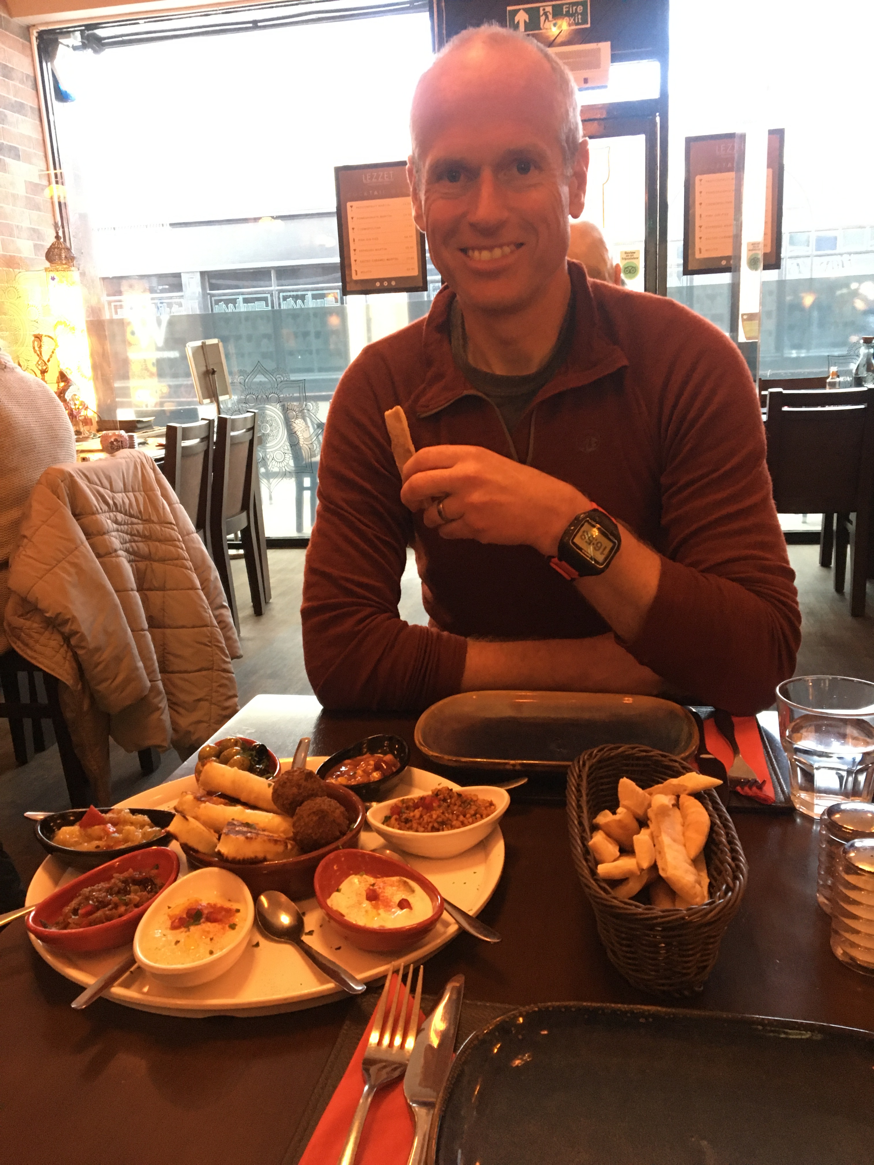
The 15:55 bus arrived in Scarborough on time at 16:36, we knew we had little chance of catching the hourly service to York at 16:34. We found Lezzet Mediterranean restaurant, they were fully booked but when they knew we had a train to catch and only wanted to share a vegetarian meze they found a table for us. It was the best food I’d had all week.
The trains worked out well as we negotiated which ones to get to get home as soon as we could.